


Czech Republic
1994
Bartholomew (Verlag)
978-0-7028-2624-5 (ISBN)
Bartholomew (Verlag)
978-0-7028-2624-5 (ISBN)
- Titel erscheint in neuer Auflage
- Artikel merken
Zu diesem Artikel existiert eine Nachauflage

The Czech Republic emerged as an independent nation with the division of Czechoslovakia in 1993. This detailed physical map, with relief shown by a combination of layer colouring and hill shading, covers the whole of the Czech Republic and parts of neighbouring Germany, Poland, Slovakia and Austria. Dresden marks the northern limit of the sheet, with Vienna to the south. The large scale means that lots of additional information can be shown. There is communication detail, with seven different levels of road classification, plus distance markers, route numbers and 24-hour petrol stations. Railway lines, airports, national parks, tourist sights, castles, churches, synagogues, historic and ancient sites, spas, river and lakeside beaches, hotels, motels and campsites are also featured. Large-scale city plans of Praha (Prague), Brno, Plzen and Karlovy Vary are included as insets.
| Erscheint lt. Verlag | 22.6.1994 |
|---|---|
| Reihe/Serie | Bartholomew World Travel Map S. |
| Zusatzinfo | index |
| Verlagsort | Edinburgh |
| Sprache | englisch |
| Maße | 141 x 258 mm |
| Gewicht | 92 g |
| Themenwelt | Reisen ► Karten / Stadtpläne / Atlanten ► Deutschland |
| Reisen ► Karten / Stadtpläne / Atlanten ► Europa | |
| ISBN-10 | 0-7028-2624-3 / 0702826243 |
| ISBN-13 | 978-0-7028-2624-5 / 9780702826245 |
| Zustand | Neuware |
| Informationen gemäß Produktsicherheitsverordnung (GPSR) | |
| Haben Sie eine Frage zum Produkt? |
Mehr entdecken
aus dem Bereich

aus dem Bereich
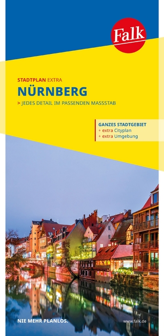
mit Ortsteilen von Feucht, Fürth, Heroldsberg, Oberasbach, Röthenbach …
Karte/Kartografie (2023)
MAIRDUMONT (Verlag)
CHF 15,90
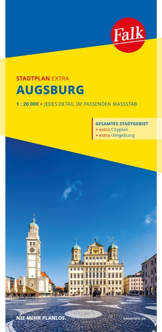
1 : 20 000 : jedes Detail im passenden Massstab
Karte (gefalzt) (2025)
MAIRDUMONT (Verlag)
CHF 18,90
1:17.500 : + Umgebungskarte : mit Ortsteilen von Bad Krozingen, …
Karte/Kartografie (2023)
MAIRDUMONT (Verlag)
CHF 16,90