


Czech Republic
1996
|
2nd Revised edition
Bartholomew (Verlag)
978-0-7028-3096-9 (ISBN)
Bartholomew (Verlag)
978-0-7028-3096-9 (ISBN)
- Titel ist leider vergriffen;
keine Neuauflage - Artikel merken
This physical map covers the whole of the Czech Republic and parts of neighbouring Germany, Poland, Slovakia and Austria. It includes seven different levels of road classification plus distance markers, route numbers and 24 hour petrol stations, railway lines, airports and tourist features. Large-scale plans of Praha (Prague), Brno, Plzen and Karlovy Vary are included as insets.
| Erscheint lt. Verlag | 3.10.1996 |
|---|---|
| Reihe/Serie | Bartholomew European Travel Map S. |
| Zusatzinfo | index |
| Verlagsort | Edinburgh |
| Sprache | englisch |
| Maße | 133 x 258 mm |
| Gewicht | 96 g |
| Themenwelt | Reisen ► Karten / Stadtpläne / Atlanten ► Deutschland |
| Reisen ► Karten / Stadtpläne / Atlanten ► Europa | |
| ISBN-10 | 0-7028-3096-8 / 0702830968 |
| ISBN-13 | 978-0-7028-3096-9 / 9780702830969 |
| Zustand | Neuware |
| Informationen gemäß Produktsicherheitsverordnung (GPSR) | |
| Haben Sie eine Frage zum Produkt? |
Mehr entdecken
aus dem Bereich

aus dem Bereich
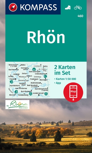
inklusive Karte zur offline Verwendung in der KOMPASS-App
Karte (gefalzt) (2023)
Kompass-Karten (Verlag)
CHF 22,90
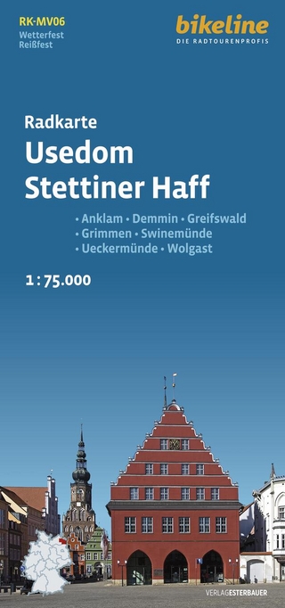
Anklam, Demmin, Greifswald, Grimmen, Swinemünde, Ückermünde, Usedom, …
Karte (gefalzt) (2024)
Esterbauer (Verlag)
CHF 14,90
1 : 20 000 : jedes Detail im passenden Massstab
Karte (gefalzt) (2025)
MAIRDUMONT (Verlag)
CHF 18,90