


Newcastle upon Tyne A-Z Pocket Street Map
Seiten
2020
Harpercollins (Verlag)
9780008391072 (ISBN)
Harpercollins (Verlag)
9780008391072 (ISBN)
- Titel ist leider vergriffen;
keine Neuauflage - Artikel merken
This up-to-date detailed A-Z street map includes all of the 1,500 streets in and around Newcastle upon Tyne. As well as the city centre the other areas covered are Ouesburn, Jesmond, Quayside, Grainger Town and Spital Tongues.
The large scale 1 mile to 4.5 inch street map includes the following;
• Places of interest
• Postcode districts, one-way streets and car parks
• Index to streets, places of interest, place and area names, park and ride sites, national rail stations, hospitals and hospices
The perfect reference map for finding your way around Newcastle-upon-Tyne.
Britain’s leading street map publisher providing cartographic services, digital data products and paper mapping publications (including Street Atlases, Visitors Guides, Great Britain Road Atlases and The Adventure Atlas).
| Erscheint lt. Verlag | 5.3.2020 |
|---|---|
| Verlagsort | London |
| Sprache | englisch |
| Maße | 90 x 140 mm |
| Gewicht | 40 g |
| Themenwelt | Reisen ► Karten / Stadtpläne / Atlanten ► Europa |
| Schulbuch / Wörterbuch ► Lexikon / Chroniken | |
| ISBN-13 | 9780008391072 / 9780008391072 |
| Zustand | Neuware |
| Informationen gemäß Produktsicherheitsverordnung (GPSR) | |
| Haben Sie eine Frage zum Produkt? |
Mehr entdecken
aus dem Bereich


aus dem Bereich
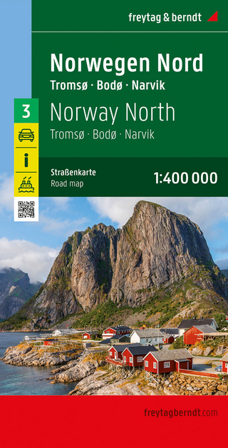
Narvik
Karte (gefalzt) (2023)
Freytag-Berndt und ARTARIA (Verlag)
CHF 21,90
Karte (gefalzt) (2024)
Freytag-Berndt und ARTARIA (Verlag)
CHF 18,95
Karte (gefalzt) (2025)
Kompass-Karten (Verlag)
CHF 31,90