


Cycling Map East Perthshire
Seiten
2007
Harvey Map Services Ltd (Verlag)
978-1-85137-497-7 (ISBN)
Harvey Map Services Ltd (Verlag)
978-1-85137-497-7 (ISBN)
- Titel nicht im Sortiment
- Artikel merken
Printed on waterproof paper, clear easy to read. Routes included, Sidlaws 29 miles, Glamis Castle 52 miles, 5 Lochs 22 miles, Blairgowrie Loop 16 miles, Glenisla 23 miles.
Shows the network of minor roads and includes 5 recommended cycle routes.
Steep hills are marked; also the location of cycle shops and cycle hire.
Shows the general topography including layer-coloured high ground, forest, rivers, lochs settlement.
General information includes location and phone numbers for the Tourist Information Centres. Points of interest, services and facilities, toilets etc. are marked.
Printed on waterproof paper and supplied in a protective plastic pocket.
| Erscheint lt. Verlag | 17.9.2007 |
|---|---|
| Zusatzinfo | col.; col. |
| Verlagsort | Perthshire |
| Sprache | englisch |
| Maße | 485 x 700 mm |
| Themenwelt | Sachbuch/Ratgeber ► Sport ► Motor- / Rad- / Flugsport |
| Reisen ► Karten / Stadtpläne / Atlanten ► Europa | |
| ISBN-10 | 1-85137-497-3 / 1851374973 |
| ISBN-13 | 978-1-85137-497-7 / 9781851374977 |
| Zustand | Neuware |
| Informationen gemäß Produktsicherheitsverordnung (GPSR) | |
| Haben Sie eine Frage zum Produkt? |
Mehr entdecken
aus dem Bereich
aus dem Bereich
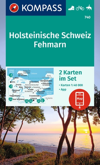
inklusive Karte zur offline Verwendung in der KOMPASS-App : …
Karte (gefalzt) (2023)
Kompass-Karten (Verlag)
CHF 22,90
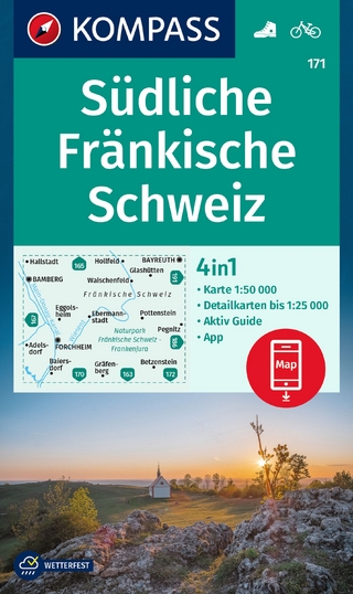
4in1 Wanderkarte, mit Aktiv Guide und Detailkarten inklusive Karte …
Karte (gefalzt) (2023)
Kompass-Karten (Verlag)
CHF 21,90