


Lake District, British Mountain Maps
Seiten
2005
British Mountaineering Council (Verlag)
978-0-903908-87-0 (ISBN)
British Mountaineering Council (Verlag)
978-0-903908-87-0 (ISBN)
- Titel ist leider vergriffen;
keine Neuauflage - Artikel merken
Under the scale of 1:40,000, this title presents a durable, tear resistant, waterproof plastic map covering the majority of the Lake District's peaks on a single sheet. With Crag names highlighted in red, it is designed for ease of use by hillwalkers, climbers, and mountaineers.
This is a durable, tear resistant, 100 per cent waterproof plastic map covering the majority of the Lake District's peaks on a single sheet. It is designed by the BMC for ease of use by hillwalkers, climbers, and mountaineers. Crag names have been highlighted in red and colour has been used to distinguish the physical features of the area and differentiate between mountains and valleys. The scale of 1:40,000. (One inch = approx. one kilometre) has been selected as the best compromise between detail and area covered for the purpose of hill walking and mountaineering. The reverse side of the map includes: detailed 1:20 000 enlargements of Scafell, Gable, Bowfell, Langdale Pikes and Pillar; geological map of the Lake District; mountain incident and first-aid advice; tips on using your map and compass; and useful local phone numbers and websites. This book is published by the British Mountaineering Council using Harvey mapping and map data.
This is a durable, tear resistant, 100 per cent waterproof plastic map covering the majority of the Lake District's peaks on a single sheet. It is designed by the BMC for ease of use by hillwalkers, climbers, and mountaineers. Crag names have been highlighted in red and colour has been used to distinguish the physical features of the area and differentiate between mountains and valleys. The scale of 1:40,000. (One inch = approx. one kilometre) has been selected as the best compromise between detail and area covered for the purpose of hill walking and mountaineering. The reverse side of the map includes: detailed 1:20 000 enlargements of Scafell, Gable, Bowfell, Langdale Pikes and Pillar; geological map of the Lake District; mountain incident and first-aid advice; tips on using your map and compass; and useful local phone numbers and websites. This book is published by the British Mountaineering Council using Harvey mapping and map data.
| Erscheint lt. Verlag | 26.9.2005 |
|---|---|
| Zusatzinfo | full colour mapping |
| Verlagsort | Manchester |
| Sprache | englisch |
| Maße | 117 x 235 mm |
| Themenwelt | Sachbuch/Ratgeber ► Sport |
| Reisen ► Karten / Stadtpläne / Atlanten | |
| ISBN-10 | 0-903908-87-5 / 0903908875 |
| ISBN-13 | 978-0-903908-87-0 / 9780903908870 |
| Zustand | Neuware |
| Informationen gemäß Produktsicherheitsverordnung (GPSR) | |
| Haben Sie eine Frage zum Produkt? |
Mehr entdecken
aus dem Bereich
aus dem Bereich
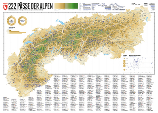
222 Mountain Passes of the Alps / 222 Cols des Alpes / 222 Passi …
Karte (gerollt) (2024)
Marmota Maps GmbH (Verlag)
CHF 84,90
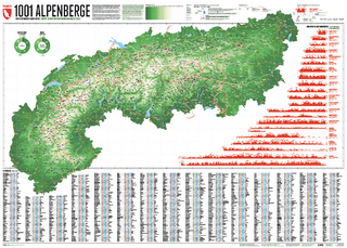
Und 20 besondere Wanderwege
Karte (gerollt) (2025)
Marmota Maps GmbH (Verlag)
CHF 84,90