


Central London Footways
2024
Footways (Verlag)
9781739656034 (ISBN)
Footways (Verlag)
9781739656034 (ISBN)
Defy the transport algorithm and rediscover London on foot with Central London Footways - a beautifully crafted map designed to transform your experience of the city. This is the first map of its kind, connecting London's key destinations with a network of quiet and enjoyable streets.
Developed over three years by the Footways team, the network links major rail stations, cultural landmarks, heritage sites and green spaces, prioritising pleasant, low-traffic routes to help walkers navigate London in a more human-centred way.
The reverse side of the map features an illustrated guide to intriguing streets and hidden gems across central London, offering inspiration for urban exploration beyond the tourist trails.
A collaboration between top designers and illustrators, the map is a visual and tactile treat, printed with precision using five bespoke Pantone inks to ensure vibrancy and clarity.
Ideal for:
Londoners, visitors, urban explorers, architecture lovers, walkers, slow travel enthusiasts, and anyone curious to experience the capital from a new, more connected perspective.
Folded size 198 x 105mm
Illustrator: Hannah Robinson
Map design: Applied Information Group
Graphic design on back: Studio Bergini
| Erscheint lt. Verlag | 17.6.2024 |
|---|---|
| Sprache | englisch |
| Themenwelt | Sachbuch/Ratgeber ► Sport |
| Reisen ► Karten / Stadtpläne / Atlanten ► Europa | |
| ISBN-13 | 9781739656034 / 9781739656034 |
| Zustand | Neuware |
| Informationen gemäß Produktsicherheitsverordnung (GPSR) | |
| Haben Sie eine Frage zum Produkt? |
Mehr entdecken
aus dem Bereich


aus dem Bereich
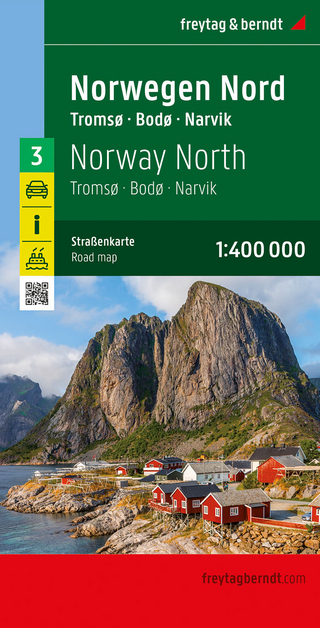
Narvik
Karte (gefalzt) (2023)
Freytag-Berndt und ARTARIA (Verlag)
CHF 21,90
Karte (gefalzt) (2024)
Freytag-Berndt und ARTARIA (Verlag)
CHF 18,95
Karte (gefalzt) (2025)
Kompass-Karten (Verlag)
CHF 31,90