


Saimaa GeoPark Mikkeli, Puumala & Sulkava
Seiten
2022
Calazo Forlag (Verlag)
978-91-88779-28-1 (ISBN)
Calazo Forlag (Verlag)
978-91-88779-28-1 (ISBN)
- Titel nicht im Sortiment
- Artikel merken
Saimaa's treasures - now a UNESCO Geopark area!
Saimaa's scenic ridges combine into a vast labyrinth of routes. The Savo boats with cast frames carved here are suitable for them. Those races are held annually in Sulkava's grand rowing events, which is the world's largest rowing event. The same sheltered routes are also suitable for paddling and boating. The castles transport cyclists across bridgeless straits.
The map covers northern Saimaa from Ristiina and Mikkeli to Sulkava and Puumala. In addition to hiking information, it contains the historical and geological sites of the UNESCO Geopark area. The lakes are described with depth readings, depth zones of the shores, channels and sea marks. Saimaa Geopark cherishes Saimaa's geological heritage, history and culture. The goal is to increase residents' appreciation of their home region and bring valuable heritage into everyday life.
Our map is printed on the excellent Tyvek® material, which is water-resistant and tear-resistant. So you don't have to protect your map from the rain and your map doesn't tear during use. The manufacturer guarantees that the material will last 20,000 folding times. Thanks to the ingenious division of the pages, all the most important excursion destinations in the area can be found on one map.
| Erscheint lt. Verlag | 1.9.2022 |
|---|---|
| Reihe/Serie | Lake & coastal map |
| Sprache | finnisch |
| Maße | 130 x 210 mm |
| Gewicht | 52 g |
| Themenwelt | Sachbuch/Ratgeber ► Sport |
| Reisen ► Karten / Stadtpläne / Atlanten ► Europa | |
| ISBN-10 | 91-88779-28-9 / 9188779289 |
| ISBN-13 | 978-91-88779-28-1 / 9789188779281 |
| Zustand | Neuware |
| Informationen gemäß Produktsicherheitsverordnung (GPSR) | |
| Haben Sie eine Frage zum Produkt? |
Mehr entdecken
aus dem Bereich


aus dem Bereich
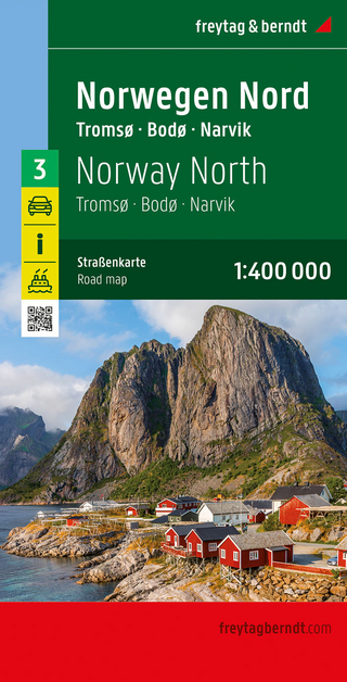
Narvik
Karte (gefalzt) (2023)
Freytag-Berndt und ARTARIA (Verlag)
CHF 21,90
Karte (gefalzt) (2024)
Freytag-Berndt und ARTARIA (Verlag)
CHF 18,95
Georgien, Armenien, Aserbaidschan
Karte (gefalzt) (2025)
Freytag-Berndt und ARTARIA (Verlag)
CHF 24,90