


Sandia Mountain Hiking Guide Map
North Sandias
Seiten
2004
University of New Mexico Press (Verlag)
978-0-8263-3715-3 (ISBN)
University of New Mexico Press (Verlag)
978-0-8263-3715-3 (ISBN)
- Titel ist leider vergriffen;
keine Neuauflage - Artikel merken
Presents a full-colour map of Sandia Mountain, printed on water-resistant paper, to accompany the "Sandia Mountain Hiking Guide", which presents information on fifty-seven trails, covering a total distance of about 175 miles. It is drawn according to the scale - 1:31680 (1 inch = mile).
This is a large, full-colour map of Sandia Mountain, printed on water-resistant paper, to accompany the "Sandia Mountain Hiking Guide", which presents information on fifty-seven trails, covering a total distance of about 175 miles. It is drawn according to the scale - 1:31680 (1 inch = mile).
This is a large, full-colour map of Sandia Mountain, printed on water-resistant paper, to accompany the "Sandia Mountain Hiking Guide", which presents information on fifty-seven trails, covering a total distance of about 175 miles. It is drawn according to the scale - 1:31680 (1 inch = mile).
Mike Coltrin is a physical chemist by training and a Distinguished Member of the Technical Staff at Sandia National Laboratories. He has enjoyed hiking in the Sandia Mountains for more than twenty years.
| Erscheint lt. Verlag | 16.11.2004 |
|---|---|
| Verlagsort | Albuquerque, NM |
| Sprache | englisch |
| Maße | 425 x 460 mm |
| Themenwelt | Sachbuch/Ratgeber ► Sport |
| ISBN-10 | 0-8263-3715-5 / 0826337155 |
| ISBN-13 | 978-0-8263-3715-3 / 9780826337153 |
| Zustand | Neuware |
| Informationen gemäß Produktsicherheitsverordnung (GPSR) | |
| Haben Sie eine Frage zum Produkt? |
Mehr entdecken
aus dem Bereich
aus dem Bereich
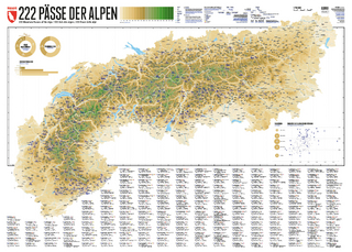
222 Mountain Passes of the Alps / 222 Cols des Alpes / 222 Passi …
Karte (gerollt) (2024)
Marmota Maps GmbH (Verlag)
CHF 84,90
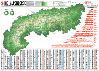
Und 20 besondere Wanderwege
Karte (gerollt) (2025)
Marmota Maps GmbH (Verlag)
CHF 84,90