


Wales Coast Path 4
Llanelli to Chepstow including Gower Peninsula
Seiten
2023
Harvey Map Services Ltd (Verlag)
978-1-85137-663-6 (ISBN)
Harvey Map Services Ltd (Verlag)
978-1-85137-663-6 (ISBN)
- Titel nicht im Sortiment
- Artikel merken
The Wales Coast Path is a 1400km (870 miles) long distance trail that follows, or runs close to, the entire coastline of Wales. It is an incredibly varied trail that offers rugged and unspoilt walking, colourful seaside villages, industrial archaeology, clifftops, beaches and unique heritage sites. 4 HARVEY maps cover the whole of the route. Each map covers a section of the Path suitable for about 2 weeks of walking. Map 4 covers the Path from Llanelli to the finish (or start) in Chepstow, and includes the whole of the picturesque and popular Gower Peninsula. Famous for its rugged coastline, cliffs and beautiful sandy beaches, the Gower Peninsula is popular with walkers in its own right. It lies to the west of Swansea. Heading eastwards along the South Wales coast, you will pass through the country's capital city, Cardiff, before finishing your journey at the estuary of the River Severn near Chepstow. Tough, light, durable and 100% waterproof Includes Rights of Way Genuine original HARVEY mapping Route clearly marked
| Erscheint lt. Verlag | 1.5.2023 |
|---|---|
| Reihe/Serie | XT40 |
| Verlagsort | Perthshire |
| Sprache | englisch |
| Maße | 115 x 245 mm |
| Gewicht | 50 g |
| Themenwelt | Sachbuch/Ratgeber ► Sport |
| Reisen ► Karten / Stadtpläne / Atlanten | |
| ISBN-10 | 1-85137-663-1 / 1851376631 |
| ISBN-13 | 978-1-85137-663-6 / 9781851376636 |
| Zustand | Neuware |
| Informationen gemäß Produktsicherheitsverordnung (GPSR) | |
| Haben Sie eine Frage zum Produkt? |
Mehr entdecken
aus dem Bereich
aus dem Bereich
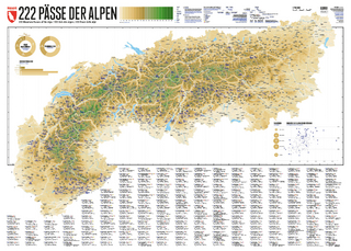
222 Mountain Passes of the Alps / 222 Cols des Alpes / 222 Passi …
Karte (gerollt) (2024)
Marmota Maps GmbH (Verlag)
CHF 84,90
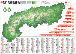
Und 20 besondere Wanderwege
Karte (gerollt) (2025)
Marmota Maps GmbH (Verlag)
CHF 84,90