


Yorkshire Dales
Seiten
2022
Harvey Map Services Ltd (Verlag)
978-1-85137-655-1 (ISBN)
Harvey Map Services Ltd (Verlag)
978-1-85137-655-1 (ISBN)
- Titel nicht im Sortiment
- Artikel merken
The British Mountain Map of the Yorkshire Dales covers a huge area: over 600 square miles of fresh air and freedom - all on one map. "I've walked, climbed and potholed all over the Yorkshire Dales and this inspiring and practical map will help you enjoy the fantastic scenery of this unique area" Alan Hinkes OBE. Printed on polyethylene - durable, tear-proof and 100% waterproof. Made in cooperation with the British Mountaineering Council, colour shading for easy identification of hills and valleys, detailed crag information for climbers. Geological map of the Yorkshire Dales specially designed by the British Geological Survey, mountain incident and first aid advice, tips on using your map and compass, useful local phone numbers and websites.
| Erscheint lt. Verlag | 4.10.2022 |
|---|---|
| Reihe/Serie | British Mountain Map |
| Verlagsort | Perthshire |
| Sprache | englisch |
| Maße | 125 x 235 mm |
| Themenwelt | Sachbuch/Ratgeber ► Sport |
| Reisen ► Karten / Stadtpläne / Atlanten | |
| ISBN-10 | 1-85137-655-0 / 1851376550 |
| ISBN-13 | 978-1-85137-655-1 / 9781851376551 |
| Zustand | Neuware |
| Informationen gemäß Produktsicherheitsverordnung (GPSR) | |
| Haben Sie eine Frage zum Produkt? |
Mehr entdecken
aus dem Bereich
aus dem Bereich
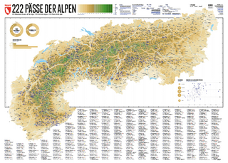
222 Mountain Passes of the Alps / 222 Cols des Alpes / 222 Passi …
Karte (gerollt) (2024)
Marmota Maps GmbH (Verlag)
CHF 84,90
Und 20 besondere Wanderwege
Karte (gerollt) (2025)
Marmota Maps GmbH (Verlag)
CHF 84,90