


Galloway Hills
Seiten
2021
Harvey Map Services Ltd (Verlag)
9781851376070 (ISBN)
Harvey Map Services Ltd (Verlag)
9781851376070 (ISBN)
The Galloway Hills form part of the Southern Uplands of Scotland. This map for hillwalkers covers Glen Trool and Loch Dee north to Loch Doon and Carrick Forest. It covers a large part of the popular Galloway Forest Park. The Minnigaff Hills, Merrick, Corserine, the Dungeon Hills and many lochs make this area a delight to walk. Includes 3 Corbetts, 4 Grahams and 11 Donalds. 1:25,000 scale.
| Erscheint lt. Verlag | 25.1.2021 |
|---|---|
| Reihe/Serie | Superwalker XT25 |
| Verlagsort | Perthshire |
| Sprache | englisch |
| Maße | 116 x 243 mm |
| Gewicht | 50 g |
| Themenwelt | Sachbuch/Ratgeber ► Sport |
| Reisen ► Karten / Stadtpläne / Atlanten | |
| ISBN-13 | 9781851376070 / 9781851376070 |
| Zustand | Neuware |
| Informationen gemäß Produktsicherheitsverordnung (GPSR) | |
| Haben Sie eine Frage zum Produkt? |
Mehr entdecken
aus dem Bereich
aus dem Bereich
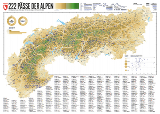
222 Mountain Passes of the Alps / 222 Cols des Alpes / 222 Passi …
Karte (gerollt) (2024)
Marmota Maps GmbH (Verlag)
CHF 84,90
Karte/Kartografie (2024)
Kompass-Karten (Verlag)
CHF 25,90
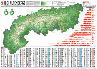
Und 20 besondere Wanderwege
Karte (gerollt) (2025)
Marmota Maps GmbH (Verlag)
CHF 84,90