


Pennine Bridleway South
XT40
2020
Harvey Map Services Ltd (Verlag)
978-1-85137-635-3 (ISBN)
Harvey Map Services Ltd (Verlag)
978-1-85137-635-3 (ISBN)
- Titel ist leider vergriffen;
keine Neuauflage - Artikel merken
ennine Bridleway Entire route on one map - 330km (205 miles)The Pennine Bridleway is the only National Trail purpose built for horse riders, mountain bikers and walkers. This map covers the entire route from Derbyshire to Cumbria - Middleton Top to Ravenstonedale.The Trail for mountain bikers starts at Middleton Top near Matlock whereas horse riders can join at Hartington Station. The Trail intersects the limestone plateau of the White Peak, winding through scenic dales before climbing to the more challenging terrain of the Dark Peak. Moving north, from the top of the Mary Towneley Loop, the Trail heads across the hills into the Ribble Valley before reaching the stunning limestone landscape of the Yorkshire Dales and the Settle Loop.The route continues through the Mallerstang valley before finishing in the village of Ravenstonedale in Cumbria.Though the route is particularly designed for use by horse riders and cyclists, it can be used by walkers too. The map gives useful information on accommodation, planning, horsebox parking, places to visit, and so forth.Tough, light, durable and 100% waterproofIncludes Rights of WayGenuine original HARVEY mappingRoute clearly marked
| Erscheint lt. Verlag | 11.12.2020 |
|---|---|
| Reihe/Serie | Trail Maps |
| Verlagsort | Perthshire |
| Sprache | englisch |
| Maße | 115 x 240 mm |
| Themenwelt | Sachbuch/Ratgeber ► Sport |
| Reisen ► Karten / Stadtpläne / Atlanten | |
| ISBN-10 | 1-85137-635-6 / 1851376356 |
| ISBN-13 | 978-1-85137-635-3 / 9781851376353 |
| Zustand | Neuware |
| Informationen gemäß Produktsicherheitsverordnung (GPSR) | |
| Haben Sie eine Frage zum Produkt? |
Mehr entdecken
aus dem Bereich
aus dem Bereich
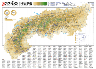
222 Mountain Passes of the Alps / 222 Cols des Alpes / 222 Passi …
Karte (gerollt) (2024)
Marmota Maps GmbH (Verlag)
CHF 84,90
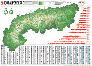
Und 20 besondere Wanderwege
Karte (gerollt) (2025)
Marmota Maps GmbH (Verlag)
CHF 84,90