


Peddars Way & Norfolk Coast Path
Seiten
2020
Harvey Map Services Ltd (Verlag)
9781851376292 (ISBN)
Harvey Map Services Ltd (Verlag)
9781851376292 (ISBN)
Trail Map XT40 Peddars Way (74 km) and Norfolk Coast Path (134 km) together are one of 16 National Trails in England and Wales. Entire route on one sheet in easy to follow panel format. Lightweight, clear and easy to read. Printed on tough 100% waterproof, tearproof paper.
Entire route on one map
Peddars Way (74km) and Norfolk Coast Path (134km) together are one of 16 National Trails in England and Wales. Peddars Way runs from Knettishall Heath Country Park to Holme-next-the-sea and Norfolk Coast Path hugs the coastline from Hunstanton to Hopton-on-Sea, passing through the Norfolk Coast AONB. As a moderate long distance walk, this is considered to be one of the most accessible National Trails.
The map shows the entire route from St Dogmaels to Amroth.
Tough, light, durable and 100% waterproof
Includes Rights of Way
Route clearly marked
| Erscheint lt. Verlag | 19.3.2020 |
|---|---|
| Reihe/Serie | Trail Map XT40 |
| Verlagsort | Perthshire |
| Sprache | englisch |
| Maße | 115 x 245 mm |
| Gewicht | 46 g |
| Themenwelt | Sachbuch/Ratgeber ► Sport |
| Reisen ► Karten / Stadtpläne / Atlanten | |
| ISBN-13 | 9781851376292 / 9781851376292 |
| Zustand | Neuware |
| Informationen gemäß Produktsicherheitsverordnung (GPSR) | |
| Haben Sie eine Frage zum Produkt? |
Mehr entdecken
aus dem Bereich
aus dem Bereich
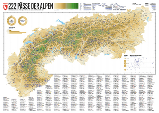
222 Mountain Passes of the Alps / 222 Cols des Alpes / 222 Passi …
Karte (gerollt) (2024)
Marmota Maps GmbH (Verlag)
CHF 84,90
Karte/Kartografie (2024)
Kompass-Karten (Verlag)
CHF 25,90
Und 20 besondere Wanderwege
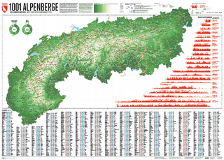
Karte (gerollt) (2025)
Marmota Maps GmbH (Verlag)
CHF 84,90