


Reeds Marine Distance Tables 16th edition
Seiten
2020
|
16th edition
Reeds (Verlag)
978-1-4729-6981-1 (ISBN)
Reeds (Verlag)
978-1-4729-6981-1 (ISBN)
- Titel ist leider vergriffen;
keine Neuauflage - Artikel merken
Reeds Marine Distance Tables are the perfect ready-reckoner for captains, navigators and owners of merchant and cruise ships large and small wanting a quick and accurate distance reference between all the regularly used commercial ports around the world. They are also of increasing value to the superyacht fleet.
The book is divided into key 'market areas', and includes a pull-out map for area identification and easy see-at-a-glance port reference. Traffic Separation Schemes are calculated into the tables whilst the distance to any port not included can easily be determined by making an approximation from the next closest port. Useful tables of major 'turning points' around the world (such as Cape Finisterre, Cape Horn and the Dover Straits), Transatlantic distances, world time zones, and time and speed conversion tables are also included.
As well as incorporating general updates and improvements, this edition has been expanded to include distances both within and through the North West Passage, providing high latitude linkage between major North Pacific ports such as Vancouver, Vladivostok and Shanghai and those in the North Atlantic, Norwegian and Barents Seas, such as Reykjavik, Narvik and Archangel.
Reeds Marine Distance Tables are an invaluable reference for ship owners, operators, brokers, navigators and superyacht skippers. Using this one reference, anyone can calculate the shortest or most economical distances between all the major ports in the world.
'A first class reference' Nautical Magazine
'Clear and simple support for anyone wanting to calculate the shortest or most economical distance between major ports' Telegraph
Miranda Delmar-Morgan has sailed for most of her life, and professionally for over ten years. She currently sails in European waters both in a professional capacity, and cruising on her own boat. She is also a regular contributor to Yachting Monthly.
| Erscheinungsdatum | 11.01.2020 |
|---|---|
| Zusatzinfo | Area world map |
| Verlagsort | London |
| Sprache | englisch |
| Maße | 138 x 210 mm |
| Gewicht | 428 g |
| Themenwelt | Sachbuch/Ratgeber ► Sport ► Segeln / Tauchen / Wassersport |
| Technik ► Fahrzeugbau / Schiffbau | |
| ISBN-10 | 1-4729-6981-2 / 1472969812 |
| ISBN-13 | 978-1-4729-6981-1 / 9781472969811 |
| Zustand | Neuware |
| Informationen gemäß Produktsicherheitsverordnung (GPSR) | |
| Haben Sie eine Frage zum Produkt? |
Mehr entdecken
aus dem Bereich


aus dem Bereich
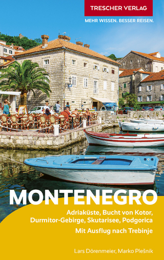
Adriaküste, Bucht von Kotor, Durmitor-Gebirge, Skutarisee, Podgorica …
Buch | Softcover (2025)
TRESCHER (Verlag)
CHF 26,90
Müritz, Havel, Seenplatte : die schönsten Häfen und Liegeplätze
Buch | Hardcover (2025)
SD Media Services (Verlag)
CHF 51,90