


Yorkshire Wolds Way
Seiten
2017
Harvey Map Services Ltd (Verlag)
978-1-85137-592-9 (ISBN)
Harvey Map Services Ltd (Verlag)
978-1-85137-592-9 (ISBN)
- Titel nicht im Sortiment
- Artikel merken
The Yorkshire Wolds Way is a 79 mile (127 km) walking route in the chalk landscape of the Yorkshire Wolds. The National Trail wends through some of the most tranquil and gentle countryside in England. From the banks of the mighty Humber estuary, along wooded slopes and through serene dry valleys, the walk climbs gently onto the airy tops of the rolling hills where on a clear day you can see forever. Descending from the northern escarpment the final section of the way finishes on the dramatic headland of Filey Brigg.
| Erscheint lt. Verlag | 22.6.2017 |
|---|---|
| Reihe/Serie | Trail Map XT40 |
| Verlagsort | Perthshire |
| Sprache | englisch |
| Maße | 115 x 245 mm |
| Gewicht | 28 g |
| Themenwelt | Sachbuch/Ratgeber ► Sport |
| Reisen ► Karten / Stadtpläne / Atlanten | |
| ISBN-10 | 1-85137-592-9 / 1851375929 |
| ISBN-13 | 978-1-85137-592-9 / 9781851375929 |
| Zustand | Neuware |
| Informationen gemäß Produktsicherheitsverordnung (GPSR) | |
| Haben Sie eine Frage zum Produkt? |
Mehr entdecken
aus dem Bereich
aus dem Bereich
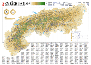
222 Mountain Passes of the Alps / 222 Cols des Alpes / 222 Passi …
Karte (gerollt) (2024)
Marmota Maps GmbH (Verlag)
CHF 84,90
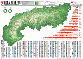
Und 20 besondere Wanderwege
Karte (gerollt) (2025)
Marmota Maps GmbH (Verlag)
CHF 84,90