


The West Highland Way (Footprint Map)
A Footprint Map-Guide to the 95 Mile Route Between Milngavie and Fort William
2017
|
New edition
Footprint Maps (Verlag)
978-1-871149-93-7 (ISBN)
Footprint Maps (Verlag)
978-1-871149-93-7 (ISBN)
The West Highland Way waterproof map from Footprint is a map-guide to the 95 mile (153km) route between Milngavie and Fort William. The mapping is based on Ordnance Survey data at a scale of 1:40,000, with compact and concise information for walkers.
| Erscheint lt. Verlag | 10.4.2017 |
|---|---|
| Verlagsort | Stirling |
| Sprache | englisch |
| Maße | 120 x 225 mm |
| Themenwelt | Sachbuch/Ratgeber ► Sport |
| Reisen ► Karten / Stadtpläne / Atlanten | |
| ISBN-10 | 1-871149-93-2 / 1871149932 |
| ISBN-13 | 978-1-871149-93-7 / 9781871149937 |
| Zustand | Neuware |
| Informationen gemäß Produktsicherheitsverordnung (GPSR) | |
| Haben Sie eine Frage zum Produkt? |
Mehr entdecken
aus dem Bereich
aus dem Bereich
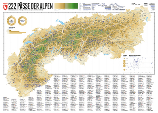
222 Mountain Passes of the Alps / 222 Cols des Alpes / 222 Passi …
Karte (gerollt) (2024)
Marmota Maps GmbH (Verlag)
CHF 84,90
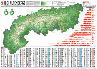
Und 20 besondere Wanderwege
Karte (gerollt) (2025)
Marmota Maps GmbH (Verlag)
CHF 84,90