


Sierra de Aracena Tour & Trail Map
Seiten
2016
Discovery Walking Guides Ltd (Verlag)
978-1-78275-034-5 (ISBN)
Discovery Walking Guides Ltd (Verlag)
978-1-78275-034-5 (ISBN)
New 2nd edition of Sierra de Aracena Tour & Trail Map. Digital editions of Tour & Trail Maps for phone apps and Garmin users are available on the dwgwalking website.
1:40,000 scale topographical map covering the Sierra de Aracena region in northern Huelva/Andalucia. All walking routes from Sierra de Aracena - a Walk! Guidebook; are clearly highlighted. Discover the hidden Spain of western Andalucia which is a delight for leisure walkers who appreciate the natural world and 1st class culinary delights; the Jabugo pata negra ham and local setas make for a unique dining experience. 2nd edition includes 1 minute Lat/Long grid, road and development updates and specially highlighted walking trails. Produced to Tour & Trail standards resulting in a map of outstanding accuracy and clarity. Whether you are driving, walking, hiking, horse riding or mountain biking this is the map to carry with you. Digital editions of Tour & Trail Maps for phone apps and Garmin users are available on the dwgwalking website.
1:40,000 scale topographical map covering the Sierra de Aracena region in northern Huelva/Andalucia. All walking routes from Sierra de Aracena - a Walk! Guidebook; are clearly highlighted. Discover the hidden Spain of western Andalucia which is a delight for leisure walkers who appreciate the natural world and 1st class culinary delights; the Jabugo pata negra ham and local setas make for a unique dining experience. 2nd edition includes 1 minute Lat/Long grid, road and development updates and specially highlighted walking trails. Produced to Tour & Trail standards resulting in a map of outstanding accuracy and clarity. Whether you are driving, walking, hiking, horse riding or mountain biking this is the map to carry with you. Digital editions of Tour & Trail Maps for phone apps and Garmin users are available on the dwgwalking website.
| Erscheint lt. Verlag | 5.9.2016 |
|---|---|
| Zusatzinfo | topographical map at 40k scale |
| Verlagsort | Northampton |
| Sprache | englisch |
| Maße | 120 x 210 mm |
| Themenwelt | Sachbuch/Ratgeber ► Sport |
| Reisen ► Karten / Stadtpläne / Atlanten | |
| ISBN-10 | 1-78275-034-7 / 1782750347 |
| ISBN-13 | 978-1-78275-034-5 / 9781782750345 |
| Zustand | Neuware |
| Informationen gemäß Produktsicherheitsverordnung (GPSR) | |
| Haben Sie eine Frage zum Produkt? |
Mehr entdecken
aus dem Bereich
aus dem Bereich
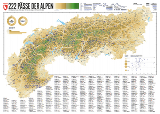
222 Mountain Passes of the Alps / 222 Cols des Alpes / 222 Passi …
Karte (gerollt) (2024)
Marmota Maps GmbH (Verlag)
CHF 84,90
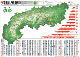
Und 20 besondere Wanderwege
Karte (gerollt) (2025)
Marmota Maps GmbH (Verlag)
CHF 84,90