


Oban, Kintyre & the Trossachs Cycle Map 42
Including the Caledonia Way and 2 Individual Day Rides
Seiten
2016
Sustrans (Verlag)
978-1-910845-18-9 (ISBN)
Sustrans (Verlag)
978-1-910845-18-9 (ISBN)
- Titel ist leider vergriffen;
keine Neuauflage - Artikel merken
This is in the series of official pocket sized, folded maps to the National Cycle Network which include clearly mapped on-road and traffic-free paths, easy to read contours and detailed town insets. The series is published by Sustrans. 1:110,000 scale; folded 155mm x 99mm; flat 792mm x 630mm.Oban, Kintyre & The Trossachs Cycle Map 42. Including the Caledonia Way and 2 individual day rides.
| Erscheinungsdatum | 10.05.2016 |
|---|---|
| Verlagsort | Bristol |
| Sprache | englisch |
| Maße | 99 x 155 mm |
| Themenwelt | Sachbuch/Ratgeber ► Sport ► Motor- / Rad- / Flugsport |
| Reisen ► Karten / Stadtpläne / Atlanten ► Europa | |
| ISBN-10 | 1-910845-18-3 / 1910845183 |
| ISBN-13 | 978-1-910845-18-9 / 9781910845189 |
| Zustand | Neuware |
| Informationen gemäß Produktsicherheitsverordnung (GPSR) | |
| Haben Sie eine Frage zum Produkt? |
Mehr entdecken
aus dem Bereich

aus dem Bereich
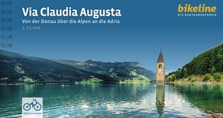
von der Donau über die Alpen an die Adria
Buch | Spiralbindung (2024)
Esterbauer (Verlag)
CHF 25,90
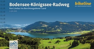
von Lindau ins Berchtesgadener Land
Buch | Spiralbindung (2024)
Esterbauer (Verlag)
CHF 25,90
Mecklenburg-Vorpommern : von Lübeck nach Ahlbeck/Usedom
Buch | Spiralbindung (2024)
Esterbauer (Verlag)
CHF 25,90