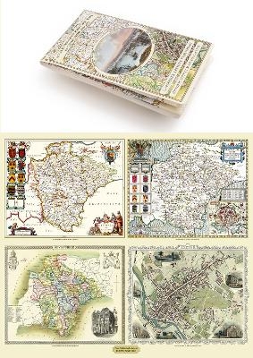
Devon 1611 – 1836 – Fold Up Map that features a collection of Four Historic Maps, John Speed’s County Map 1611, Johan Blaeu’s County Map of 1648, Thomas Moules County Map of 1836 and a Plan of Exeter 1851 by John Tallis.
Seiten
2014
Mapseeker Archive Publishing (Verlag)
978-1-84491-826-3 (ISBN)
Mapseeker Archive Publishing (Verlag)
978-1-84491-826-3 (ISBN)
| Erscheint lt. Verlag | 18.11.2014 |
|---|---|
| Reihe/Serie | Historic Counties Maps Collection |
| Verlagsort | Truro |
| Sprache | englisch |
| Maße | 134 x 237 mm |
| Themenwelt | Sachbuch/Ratgeber ► Geschichte / Politik ► Regional- / Landesgeschichte |
| Geisteswissenschaften ► Geschichte ► Hilfswissenschaften | |
| ISBN-10 | 1-84491-826-2 / 1844918262 |
| ISBN-13 | 978-1-84491-826-3 / 9781844918263 |
| Zustand | Neuware |
| Informationen gemäß Produktsicherheitsverordnung (GPSR) | |
| Haben Sie eine Frage zum Produkt? |