


Skye Trail
Seiten
2019
Harvey Map Services Ltd (Verlag)
9781851375172 (ISBN)
Harvey Map Services Ltd (Verlag)
9781851375172 (ISBN)
- Titel nicht im Sortiment
- Artikel merken
Entire route on one map
The Skye Trail is a challenging unmarked route of 127km (79 miles) through the island of Skye. It is specifically aimed at experienced hillwalkers.
The route follows much of the amazing Trotternish Ridge and passes beneath the peaks and pinnacles of the Cuillin, which are considered to be the finest mountains in Britain. There are also remarkable coastal cliffs, steep trails, high drops and haunting ruins of deserted villages destroyed in the highland clearances. You have various choices of alternative routes through either tough terrain or easier walking with spectacular mountain views and coastal scenery. It is not waymarked making this map an essential piece of your equipment.
Tough, light, durable and 100% waterproof
Route clearly marked
| Erscheint lt. Verlag | 29.11.2019 |
|---|---|
| Reihe/Serie | Trail Map XT40 |
| Verlagsort | Perthshire |
| Sprache | englisch |
| Maße | 115 x 245 mm |
| Gewicht | 30 g |
| Themenwelt | Sachbuch/Ratgeber ► Sport |
| Reisen ► Karten / Stadtpläne / Atlanten | |
| ISBN-13 | 9781851375172 / 9781851375172 |
| Zustand | Neuware |
| Informationen gemäß Produktsicherheitsverordnung (GPSR) | |
| Haben Sie eine Frage zum Produkt? |
Mehr entdecken
aus dem Bereich
aus dem Bereich
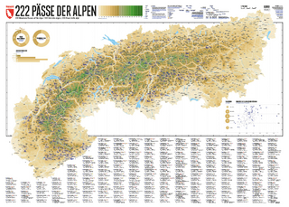
222 Mountain Passes of the Alps / 222 Cols des Alpes / 222 Passi …
Karte (gerollt) (2024)
Marmota Maps GmbH (Verlag)
CHF 84,90
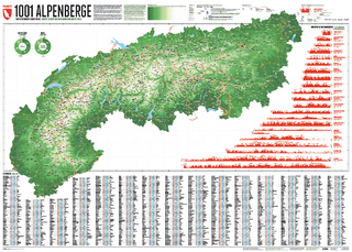
Karte/Kartografie (2024)
Kompass-Karten (Verlag)
CHF 25,90
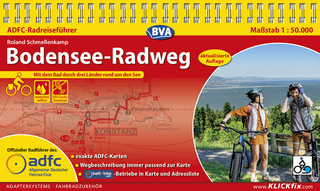
Und 20 besondere Wanderwege
Karte (gerollt) (2025)
Marmota Maps GmbH (Verlag)
CHF 84,90