


Nottingham, York and the North East
Seiten
2000
|
New edition
Nicholson (Verlag)
978-0-7028-4166-8 (ISBN)
Nicholson (Verlag)
978-0-7028-4166-8 (ISBN)
- Titel ist leider vergriffen;
keine Neuauflage - Artikel merken
Zu diesem Artikel existiert eine Nachauflage
Recommended by British Waterways, this newly researched guide gives complete coverage of the inland waterways network. Featuring 4-colour Ordnance Survey mapping, with facilities and towpaths clearly shown, and comprehensive navigational notes.
Navigational notes include:
• planning a cruise,
• using a lock and bridges,
• winding holes,
• boatyards and local services.
Also:
• the history of each canal,
• places of interest,
• pubs and restaurants,
• opportunities for walking and cycling.
Practical spiral binding makes the guide easy-to-use. A flap around the foredge clearly identifies the guide and provides for better display in retail outlets.
Rival publications cover one canal or canal-ring only. Nicholson guides have logical groupings of waterways: all recognised circular routes are contained within single editions. Newly restored canals also included.
Waterways covered in this guide – Aire & Calder Navigation, Chesterfield Canal, River Derwent, Fossdyke & Witham Navigations, Ripon Canal, River Ure and River Ouse, Pocklington Canal, Selby Canal, Sheffield & South Yorkshire Navigation, River Trent.
| Erscheint lt. Verlag | 6.3.2000 |
|---|---|
| Reihe/Serie | Nicholson Guide to the Waterways ; Book 6 |
| Zusatzinfo | (4-colour mapping, colour photographs) |
| Verlagsort | Edinburgh |
| Sprache | englisch |
| Maße | 148 x 210 mm |
| Gewicht | 288 g |
| Themenwelt | Sachbuch/Ratgeber ► Sport ► Segeln / Tauchen / Wassersport |
| Reisen ► Karten / Stadtpläne / Atlanten ► Europa | |
| ISBN-10 | 0-7028-4166-8 / 0702841668 |
| ISBN-13 | 978-0-7028-4166-8 / 9780702841668 |
| Zustand | Neuware |
| Informationen gemäß Produktsicherheitsverordnung (GPSR) | |
| Haben Sie eine Frage zum Produkt? |
Mehr entdecken
aus dem Bereich

aus dem Bereich
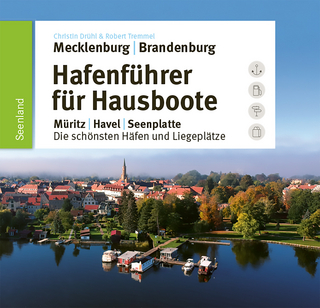
Müritz, Havel, Seenplatte : die schönsten Häfen und Liegeplätze
Buch | Hardcover (2025)
SD Media Services (Verlag)
CHF 51,90
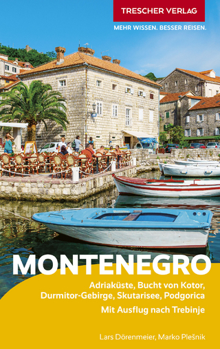
Adriaküste, Bucht von Kotor, Durmitor-Gebirge, Skutarisee, Podgorica …
Buch | Softcover (2025)
TRESCHER (Verlag)
CHF 26,90