


273 Montana
Sion - Sierre - Val d'Anniviers
2018
|
Stand: 2016
swisstopo (Verlag)
978-3-302-00273-6 (ISBN)
swisstopo (Verlag)
978-3-302-00273-6 (ISBN)
Die genauste und informative topographische Karte der Schweiz für Wanderer, Alpinisten, Velofahrer, Planer, Reisende und Entdecker.
- Vollständiges Bahnnetz, alle Autobahnen und Autostrassen, die meisten Strassen und Wege.
- Autobahnraststätten, Autobahnen und Hauptstrassen beschriftet.
- Deutliche Siedlungs-, Gewässer- und Geländedarstellung.
- Umfangreiche Beschriftung vorhandener Objekte La carte topographique de Suisse la plus exacte et informative destinée aux randonneurs, alpinistes, urbanistes, voyageurs et amateurs de découvertes.
- Réseau ferroviaire complet, toutes les autoroutes et voies rapides, la plupart des routes et chemins.
- Aires d’autoroutes, autoroutes et routes nationales légendées.
- Représentation précise des agglomérations, de l’hydrographie et du terrain.
- Légende complète des objets représentés. La carta topografica precisa e informativa della Svizzera – per escursionisti, alpinisti, progettisti, viaggiatori e scopritori.
- Rete ferroviaria completa, tutte le autostrade e le semi-autostrade nonché la maggior parte delle strade e dei sentieri.
- Stazioni di servizio, autostrade e strade principali contrassegnate da scritte.
- Rappresentazione chiara degli insediamenti, dei corsi d'acqua e del terreno.
- Indicazioni scritte dettagliate degli oggetti raffigurati. The accurate and informative topographic map of Switzerland for hikers, alpinists, cyclists, planners, travelers and adventurers.
- Complete rail network, all freeways and highways, most of the roads and routes.
- Freeways, rest areas and major roads are labeled.
- Distinct representations of settled areas, hydrography, and terrain.
- Complete lettering of the shown objects.
| Reihe/Serie | Landeskarte 1:50 000 |
|---|---|
| Sprache | französisch |
| Maße | 130 x 190 mm |
| Gewicht | 42 g |
| Einbandart | gefalzt |
| Themenwelt | Sachbuch/Ratgeber ► Sport |
| Reisen ► Karten / Stadtpläne / Atlanten ► Europa | |
| Reiseführer ► Europa ► Schweiz | |
| Schlagworte | 273 • Conthey • Crans-Montana • Montana • Sierre • Sion • Val d'Anniviers |
| ISBN-10 | 3-302-00273-4 / 3302002734 |
| ISBN-13 | 978-3-302-00273-6 / 9783302002736 |
| Zustand | Neuware |
| Informationen gemäß Produktsicherheitsverordnung (GPSR) | |
| Haben Sie eine Frage zum Produkt? |
Mehr entdecken
aus dem Bereich
aus dem Bereich
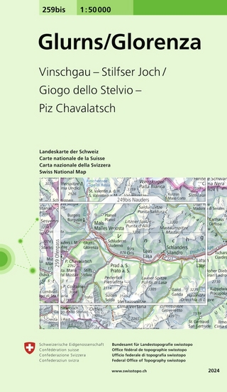
Vinschgau - Stilfser Joch/Gigo dello Stelvio - Piz Chavalatsch
Karte (gefalzt) (2024)
swisstopo (Verlag)
CHF 14,90
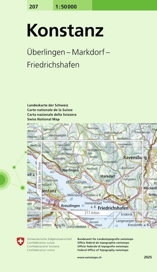
Überlingen - Markdorf - Friedrichshafen
Karte (gefalzt) (2025)
swisstopo (Verlag)
CHF 14,90