


World Hemispheres, Tubed
Wall Maps World
Seiten
2012
|
2010th ed.
National Geographic Maps (Verlag)
978-1-59775-071-4 (ISBN)
National Geographic Maps (Verlag)
978-1-59775-071-4 (ISBN)
- Titel nicht im Sortiment
- Artikel merken
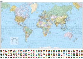
During the 1930's and 1940's, several National Geographic world maps were designed using a projection that separated the eastern and western hemispheres. Now they have brought back this classic view of the world with updated, modern cartography and an elegant earth-tone colour palette. This new map is fashionably retro. Scale: 1:37,330,000. Tubed. 109 x 61 cm.
| Erscheint lt. Verlag | 2.8.2012 |
|---|---|
| Verlagsort | Evergreen |
| Sprache | englisch |
| Maße | 56 x 820 mm |
| Gewicht | 194 g |
| Themenwelt | Reisen ► Karten / Stadtpläne / Atlanten ► Welt / Arktis / Antarktis |
| ISBN-10 | 1-59775-071-9 / 1597750719 |
| ISBN-13 | 978-1-59775-071-4 / 9781597750714 |
| Zustand | Neuware |
| Informationen gemäß Produktsicherheitsverordnung (GPSR) | |
| Haben Sie eine Frage zum Produkt? |
Mehr entdecken
aus dem Bereich
aus dem Bereich
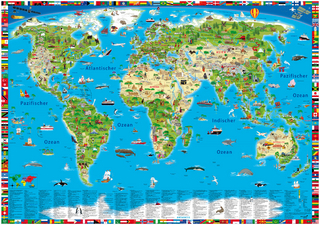
Format 138 x 98 cm, gerollt in umweltfreundlicher grüner Papphülse
Karte (gerollt) (2025)
druckbunt Verlag GmbH
CHF 27,90
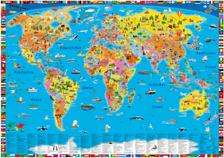
Karte (gerollt) (2025)
Kümmerly+Frey (Verlag)
CHF 26,90