


Galloway Hills Ultramap
XT40
2025
Harvey Map Services Ltd (Verlag)
978-1-85137-728-2 (ISBN)
Harvey Map Services Ltd (Verlag)
978-1-85137-728-2 (ISBN)
The Galloway Hills form part of the Southern Uplands of Scotland. This map for hillwalkers covers Glen Trool and Loch Dee north to Loch Doon and Carrick Forest. It covers a large part of the popular Galloway Forest Park. 1:40,000 scale.
The Galloway Hills form part of the Southern Uplands of Scotland. This map for hillwalkers covers Glen Trool and Loch Dee north to Loch Doon and Carrick Forest. It covers a large part of the popular Galloway Forest Park.
The Minnigaff Hills, Merrick, Corserine, the Dungeon Hills and many lochs make this area a delight to walk.
1:40,000 scale.
Includes 3 Corbetts, 4 Grahams and 11 Donalds.
Fully detailed genuine HARVEY mapping
Use without a map case: tough and 100% waterproof
Opens directly to either side of the sheet
| Erscheint lt. Verlag | 19.8.2025 |
|---|---|
| Reihe/Serie | Ultramap |
| Verlagsort | Perthshire |
| Sprache | englisch |
| Maße | 73 x 152 mm |
| Themenwelt | Reisen ► Karten / Stadtpläne / Atlanten |
| ISBN-10 | 1-85137-728-X / 185137728X |
| ISBN-13 | 978-1-85137-728-2 / 9781851377282 |
| Zustand | Neuware |
| Informationen gemäß Produktsicherheitsverordnung (GPSR) | |
| Haben Sie eine Frage zum Produkt? |
Mehr entdecken
aus dem Bereich
aus dem Bereich
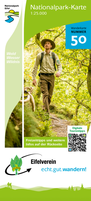
Wanderkarte Nr. 50 des Eifelvereins
Karte (gefalzt) (2025)
Eifelverein (Verlag)
CHF 19,90
Karte/Kartografie (2024)
Kompass-Karten (Verlag)
CHF 25,90
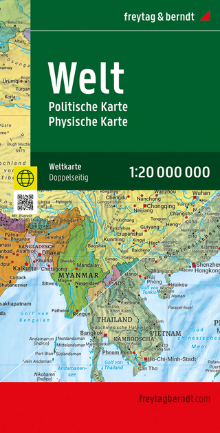
Karte (gefalzt) (2025)
Freytag-Berndt und ARTARIA (Verlag)
CHF 21,90