


Lochnagar, Glenshee & Mount Keen Ultramap
XT40
2025
Harvey Map Services Ltd (Verlag)
978-1-85137-727-5 (ISBN)
Harvey Map Services Ltd (Verlag)
978-1-85137-727-5 (ISBN)
Detailed map for hillwalkers of the superb walking area south of Braemar at the popular scale of 1:40,000.
Covers Lochnagar itself, with Braemar at the north of the sheet and the Spittal of Glenshee at the south.
The Spittal of Glenmuick, and the popoular Loch Muick, lies to the east.
Scotland's most easterly Munro, Mount Keen, is included as an inset.
Includes 22 Munros, 5 Corbetts and 1 Graham.
1:40,000
Fully detailed genuine HARVEY mapping
Use without a map case: tough and 100% waterproof
Opens directly to either side of the sheet
| Erscheint lt. Verlag | 19.8.2025 |
|---|---|
| Reihe/Serie | Ultramap |
| Verlagsort | Perthshire |
| Sprache | englisch |
| Maße | 73 x 152 mm |
| Themenwelt | Reisen ► Karten / Stadtpläne / Atlanten |
| ISBN-10 | 1-85137-727-1 / 1851377271 |
| ISBN-13 | 978-1-85137-727-5 / 9781851377275 |
| Zustand | Neuware |
| Informationen gemäß Produktsicherheitsverordnung (GPSR) | |
| Haben Sie eine Frage zum Produkt? |
Mehr entdecken
aus dem Bereich
aus dem Bereich
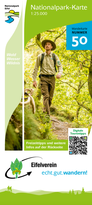
Wanderkarte Nr. 50 des Eifelvereins
Karte (gefalzt) (2025)
Eifelverein (Verlag)
CHF 19,90
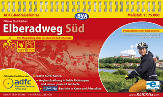
Karte/Kartografie (2024)
Kompass-Karten (Verlag)
CHF 25,90
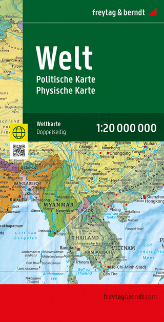
Karte (gefalzt) (2025)
Freytag-Berndt und ARTARIA (Verlag)
CHF 21,90