


AA Map of the World
2007
|
4th Revised edition
Automobile Association (Verlag)
978-0-7495-5216-9 (ISBN)
Automobile Association (Verlag)
978-0-7495-5216-9 (ISBN)
- Keine Verlagsinformationen verfügbar
- Artikel merken
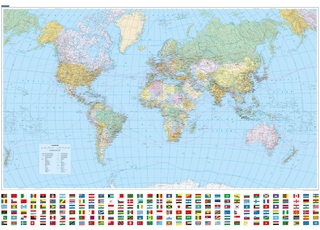
A political sheet map from the AA and "Daily Express", based on the Van der Grinten projection. This map includes international boundaries, main cities, time zones and national flags. It also features a fresh picture mosaic around the margins of famous world landmarks.
| Erscheint lt. Verlag | 31.5.2007 |
|---|---|
| Zusatzinfo | colour |
| Verlagsort | Basingstoke |
| Sprache | englisch |
| Maße | 145 x 256 mm |
| Themenwelt | Reisen ► Karten / Stadtpläne / Atlanten ► Welt / Arktis / Antarktis |
| ISBN-10 | 0-7495-5216-6 / 0749552166 |
| ISBN-13 | 978-0-7495-5216-9 / 9780749552169 |
| Zustand | Neuware |
| Informationen gemäß Produktsicherheitsverordnung (GPSR) | |
| Haben Sie eine Frage zum Produkt? |
Mehr entdecken
aus dem Bereich
aus dem Bereich
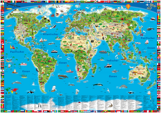
Format 138 x 98 cm, gerollt in umweltfreundlicher grüner Papphülse
Karte (gerollt) (2025)
druckbunt Verlag GmbH
CHF 27,90
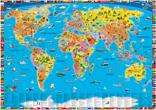
Karte (gerollt) (2025)
Kümmerly+Frey (Verlag)
CHF 26,90