


Perth City Streets & Suburbs Map 662 10th edition
Seiten
2025
|
Tenth Edition
UBD Gregory's (Verlag)
978-0-7319-3366-2 (ISBN)
UBD Gregory's (Verlag)
978-0-7319-3366-2 (ISBN)
- Titel nicht im Sortiment
- Artikel merken
The latest edition of the Perth City Streets and Suburbs city map has been fully revised and updated and includes detailed street level mapping of Perth and surrounding suburbs at a scale of 1: 25 000 with coverage from Westminster in the north, Coolbellup in the south, Maylands in the east and along the coast from Trigg in the north to Fremantle in the south.
There is also Perth suburban coverage at a scale of 1: 100 00 with coverage from Bullsbrook in the north, North Dandalup in the south, The Lakes in the east and along the coast from Quinns Rocks in the north to Mandurah in the south with insets for the towns of Pinjarra and Yanchep.
There is also Perth suburban coverage at a scale of 1: 100 00 with coverage from Bullsbrook in the north, North Dandalup in the south, The Lakes in the east and along the coast from Quinns Rocks in the north to Mandurah in the south with insets for the towns of Pinjarra and Yanchep.
| Erscheint lt. Verlag | 26.8.2025 |
|---|---|
| Reihe/Serie | City Map |
| Zusatzinfo | Full colour |
| Sprache | englisch |
| Maße | 1000 x 690 mm |
| Themenwelt | Reisen ► Karten / Stadtpläne / Atlanten ► Australien / Neuseeland / Ozeanien |
| ISBN-10 | 0-7319-3366-4 / 0731933664 |
| ISBN-13 | 978-0-7319-3366-2 / 9780731933662 |
| Zustand | Neuware |
| Informationen gemäß Produktsicherheitsverordnung (GPSR) | |
| Haben Sie eine Frage zum Produkt? |
Mehr entdecken
aus dem Bereich
aus dem Bereich
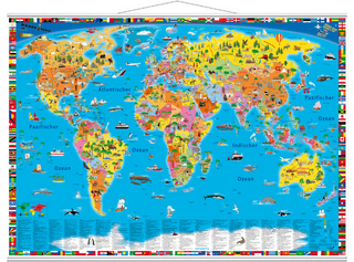
mit Metall-Beleistung
Karte (gerollt) (2025)
druckbunt Verlag GmbH
CHF 29,90
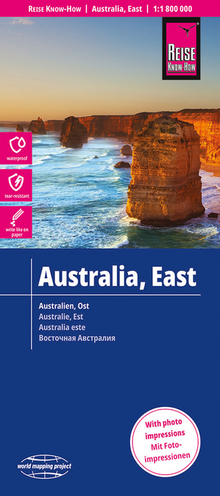
Karte (gefalzt) (2023)
Reise Know-How Verlag Peter Rump GmbH
CHF 23,90
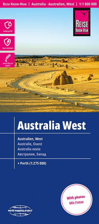
Karte (gefalzt) (2024)
Reise Know-How Verlag Peter Rump GmbH
CHF 22,90