


Lake District West
Scafell Pike, Langdale & Coniston
2024
Harvey Map Services Ltd (Verlag)
978-1-85137-719-0 (ISBN)
Harvey Map Services Ltd (Verlag)
978-1-85137-719-0 (ISBN)
Covers a large area yet is handily compact. Pocket perfect!
Detailed map for runners and walkers of the western fells of the Lake District National Park at the magic scale of 1:40,000.
Scafell and the Langdale Pikes, and fells west of the Kendal-Keswick road.
Hard Knott and Wrynose Passes. Ennerdale, Wast Water and Coniston Water.
Includes 74 Wainwrights.
Fully detailed genuine HARVEY mapping
Includes Rights of Way
Use without a map case: tough and 100% waterproof
Opens directly to either side of the sheet
| Erscheint lt. Verlag | 6.11.2024 |
|---|---|
| Reihe/Serie | Ultramap XT40 |
| Verlagsort | Perthshire |
| Sprache | englisch |
| Maße | 73 x 152 mm |
| Gewicht | 25 g |
| Themenwelt | Reisen ► Karten / Stadtpläne / Atlanten |
| ISBN-10 | 1-85137-719-0 / 1851377190 |
| ISBN-13 | 978-1-85137-719-0 / 9781851377190 |
| Zustand | Neuware |
| Informationen gemäß Produktsicherheitsverordnung (GPSR) | |
| Haben Sie eine Frage zum Produkt? |
Mehr entdecken
aus dem Bereich
aus dem Bereich
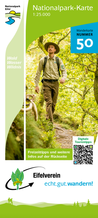
Wanderkarte Nr. 50 des Eifelvereins
Karte (gefalzt) (2025)
Eifelverein (Verlag)
CHF 19,90
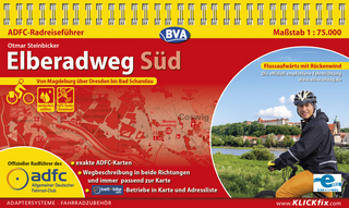
Karte/Kartografie (2024)
Kompass-Karten (Verlag)
CHF 25,90
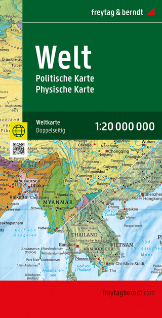
Karte (gefalzt) (2025)
Freytag-Berndt und ARTARIA (Verlag)
CHF 21,90