


The Rough Guide Map Germany
Seiten
2006
Rough Guides (Verlag)
978-1-84353-699-4 (ISBN)
Rough Guides (Verlag)
978-1-84353-699-4 (ISBN)
- Titel ist leider vergriffen;
keine Neuauflage - Artikel merken
A useful companion to those travelling around Germany. This map guide provides information about the snow-capped peaks of the Bavarian Alps or the valleys of the Rhine. It is printed on waterproof and rip-proof Polyart paper; and includes detail on almost everything from road numbers and railways to National parks and airport locations.
"The Rough Guide Map Germany" combines clear modern mapping and bang-up-to-date research, and is the essential companion to anyone travelling around this fascinating and varied country. Whether you're exploring the snow-capped peaks of the Bavarian Alps or the valleys of the Rhine, the "Rough Guide Map" provides invaluable information to help you find your way. It is printed on waterproof and rip-proof Polyart paper, and includes detail on everything from road numbers and railways to National parks and airport locations.
"The Rough Guide Map Germany" combines clear modern mapping and bang-up-to-date research, and is the essential companion to anyone travelling around this fascinating and varied country. Whether you're exploring the snow-capped peaks of the Bavarian Alps or the valleys of the Rhine, the "Rough Guide Map" provides invaluable information to help you find your way. It is printed on waterproof and rip-proof Polyart paper, and includes detail on everything from road numbers and railways to National parks and airport locations.
Produced for Rough Guides by World Mapping Project
| Erscheint lt. Verlag | 30.3.2006 |
|---|---|
| Reihe/Serie | The Rough Guide Map |
| Zusatzinfo | both sides, colour, plastic |
| Verlagsort | London |
| Sprache | englisch |
| Maße | 114 x 251 mm |
| Gewicht | 84 g |
| Themenwelt | Reisen ► Karten / Stadtpläne / Atlanten ► Deutschland |
| ISBN-10 | 1-84353-699-4 / 1843536994 |
| ISBN-13 | 978-1-84353-699-4 / 9781843536994 |
| Zustand | Neuware |
| Informationen gemäß Produktsicherheitsverordnung (GPSR) | |
| Haben Sie eine Frage zum Produkt? |
Mehr entdecken
aus dem Bereich
aus dem Bereich
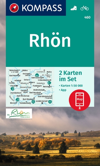
inklusive Karte zur offline Verwendung in der KOMPASS-App
Karte (gefalzt) (2023)
Kompass-Karten (Verlag)
CHF 22,90
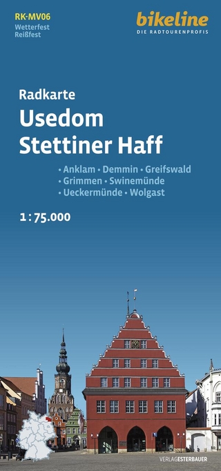
Anklam, Demmin, Greifswald, Grimmen, Swinemünde, Ückermünde, Usedom, …
Karte (gefalzt) (2024)
Esterbauer (Verlag)
CHF 14,90
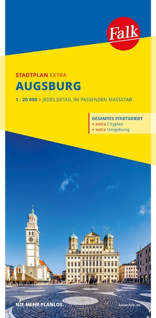
1 : 20 000 : jedes Detail im passenden Massstab
Karte (gefalzt) (2025)
MAIRDUMONT (Verlag)
CHF 18,90