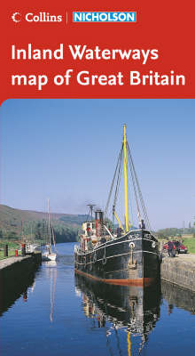
Collins/Nicholson Inland Waterways Map of Great Britain
2006
|
New A5 edition
Nicholson (Verlag)
978-0-00-721117-3 (ISBN)
Nicholson (Verlag)
978-0-00-721117-3 (ISBN)
- Titel erscheint in neuer Auflage
- Artikel merken
Zu diesem Artikel existiert eine Nachauflage
The map companion to the Collins/Nicholson Waterways Guides, covering the entire network of canal and river navigations in England, Scotland and Wales, including newly restored/opened canals and rivers.
The map identifies:
• narrow and broad canals;
• navigable rivers;
• tidal river navigations;
• waterways under construction.
Also:
• contact telephone numbers and dimensions for each waterway;
• internet links.
Clear insets of the Birmingham Canal Navigations, Scottish inland waterways, the Norfolk Broads and the London area.
| Erscheint lt. Verlag | 6.3.2006 |
|---|---|
| Verlagsort | Edinburgh |
| Sprache | englisch |
| Maße | 148 x 210 mm |
| Gewicht | 129 g |
| Themenwelt | Natur / Technik ► Fahrzeuge / Flugzeuge / Schiffe ► Schiffe |
| Sachbuch/Ratgeber ► Sport ► Segeln / Tauchen / Wassersport | |
| Reisen ► Karten / Stadtpläne / Atlanten ► Europa | |
| ISBN-10 | 0-00-721117-1 / 0007211171 |
| ISBN-13 | 978-0-00-721117-3 / 9780007211173 |
| Zustand | Neuware |
| Informationen gemäß Produktsicherheitsverordnung (GPSR) | |
| Haben Sie eine Frage zum Produkt? |
