


North York Moors West
Seiten
2019
Harvey Map Services Ltd (Verlag)
978-1-85137-622-3 (ISBN)
Harvey Map Services Ltd (Verlag)
978-1-85137-622-3 (ISBN)
- Titel nicht im Sortiment
- Artikel merken
North York Moors West Covers a large area yet is handily compact. Pocket perfect!Detailed map for runners and walkers of the western section of the North York Moors National Park at the magic scale of 1:40,000.Includes the popular Hambleton Hills and Cleveland Hills.Roseberry Topping, Sutton Bank and the White Horse.The Lyke Wake Walk is marked.Fully detailed genuine HARVEY mappingIncludes Rights of WayUse without a map case: tough and 100% waterproofOpens directly to either side of the sheet
| Reihe/Serie | Ultramap XT40 |
|---|---|
| Verlagsort | Perthshire |
| Sprache | englisch |
| Maße | 73 x 152 mm |
| Gewicht | 24 g |
| Themenwelt | Sachbuch/Ratgeber ► Sport |
| Reisen ► Karten / Stadtpläne / Atlanten | |
| ISBN-10 | 1-85137-622-4 / 1851376224 |
| ISBN-13 | 978-1-85137-622-3 / 9781851376223 |
| Zustand | Neuware |
| Informationen gemäß Produktsicherheitsverordnung (GPSR) | |
| Haben Sie eine Frage zum Produkt? |
Mehr entdecken
aus dem Bereich
aus dem Bereich
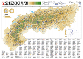
222 Mountain Passes of the Alps / 222 Cols des Alpes / 222 Passi …
Karte (gerollt) (2024)
Marmota Maps GmbH (Verlag)
CHF 84,90
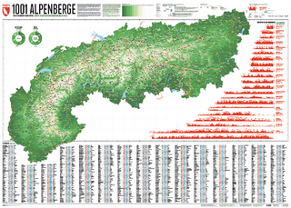
Und 20 besondere Wanderwege
Karte (gerollt) (2025)
Marmota Maps GmbH (Verlag)
CHF 84,90