


Wicklow Mountains
Seiten
2018
Harvey Map Services Ltd (Verlag)
9781851376131 (ISBN)
Harvey Map Services Ltd (Verlag)
9781851376131 (ISBN)
HARVEY Superwalker Wicklow Mountains map at 1:30,000 scale. Clear, easy to use, waterproof. GPS compatible.
Includes the spectacular Glendalough area and sections of St Kevin's Way, and the Wicklow Way which crosses these mountains. The National Park boundary is shown. Supplied in a clear plastic pocket.
Flat size: 486 x 696mm
Includes the spectacular Glendalough area and sections of St Kevin's Way, and the Wicklow Way which crosses these mountains. The National Park boundary is shown. Supplied in a clear plastic pocket.
Flat size: 486 x 696mm
| Reihe/Serie | Superwalker XT30 |
|---|---|
| Verlagsort | Perthshire |
| Sprache | englisch |
| Maße | 116 x 243 mm |
| Gewicht | 38 g |
| Themenwelt | Sachbuch/Ratgeber ► Sport |
| Reisen ► Karten / Stadtpläne / Atlanten | |
| ISBN-13 | 9781851376131 / 9781851376131 |
| Zustand | Neuware |
| Informationen gemäß Produktsicherheitsverordnung (GPSR) | |
| Haben Sie eine Frage zum Produkt? |
Mehr entdecken
aus dem Bereich

aus dem Bereich
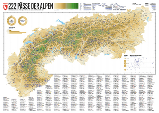
222 Mountain Passes of the Alps / 222 Cols des Alpes / 222 Passi …
Karte (gerollt) (2024)
Marmota Maps GmbH (Verlag)
CHF 84,90
Karte/Kartografie (2024)
Kompass-Karten (Verlag)
CHF 25,90
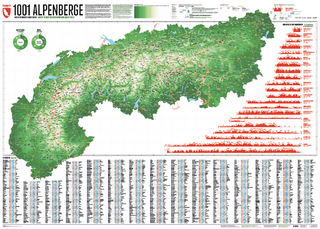
Und 20 besondere Wanderwege
Karte (gerollt) (2025)
Marmota Maps GmbH (Verlag)
CHF 84,90