


The Fens Cycle Map
Including The Norfolk Coast Cycleway, Peterborough's Green Wheel and 5 individual day rides
2018
|
New edition
Sustrans (Verlag)
978-1-910845-54-7 (ISBN)
Sustrans (Verlag)
978-1-910845-54-7 (ISBN)
- Titel ist leider vergriffen;
keine Neuauflage - Artikel merken
This area map shows the National Cycle Network and local routes in this area. It covers the Fens area of the East of England, including King's Lynn, Boston, Peterborough and Grantham.
Directly across the North Sea from the low-lying lands of The Netherlands is a similar English landscape known as The Fens. This region of England was once fresh or salt-water wetland, drained many centuries ago for its fertile soil. Like the Netherlands, the area provides excellent terrain for cycling with some of the flattest, longest and straightest sections of road in Europe. This includes a superb section of National Cycle Network Route 1, the longest overall National Cycle Route, running from Ingoldisthorpe to Boston via King's Lynn and Wisbech.
This pocket-sized colour map shows clearly mapped on-road and traffic-free paths, easy to read contours, and detailed inset maps for the major towns and cities as well as recommended linking routes connecting the NCN with quiet roads. The map also features 5 day rides with directions and a description of the area, highlighting key cycle routes, local history and places of interest.
| Erscheint lt. Verlag | 31.5.2018 |
|---|---|
| Verlagsort | Bristol |
| Sprache | englisch |
| Maße | 100 x 150 mm |
| Themenwelt | Sachbuch/Ratgeber ► Sport ► Motor- / Rad- / Flugsport |
| Reisen ► Karten / Stadtpläne / Atlanten ► Europa | |
| ISBN-10 | 1-910845-54-X / 191084554X |
| ISBN-13 | 978-1-910845-54-7 / 9781910845547 |
| Zustand | Neuware |
| Informationen gemäß Produktsicherheitsverordnung (GPSR) | |
| Haben Sie eine Frage zum Produkt? |
Mehr entdecken
aus dem Bereich
aus dem Bereich
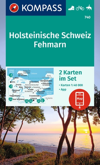
inklusive Karte zur offline Verwendung in der KOMPASS-App : …
Karte (gefalzt) (2023)
Kompass-Karten (Verlag)
CHF 22,90
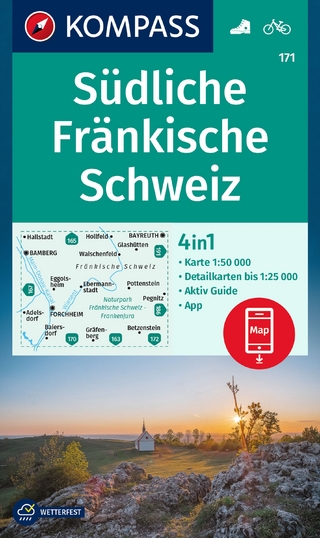
4in1 Wanderkarte, mit Aktiv Guide und Detailkarten inklusive Karte …
Karte (gefalzt) (2023)
Kompass-Karten (Verlag)
CHF 21,90