


Philip's Road Map of Germany and the Netherlands
1997
|
4th Revised edition
Philip's (Verlag)
978-0-540-07212-5 (ISBN)
Philip's (Verlag)
978-0-540-07212-5 (ISBN)
- Titel erscheint in neuer Auflage
- Artikel merken
This road map for Germany and the Netherlands has major routes and destinations picked out in bold colours for easy route-planning and navigation. Map symbols mark out car ferries, national parks, ski resorts, beaches, cathedrals and castles, ancient monuments and other places of interest.
| Erscheint lt. Verlag | 10.2.1997 |
|---|---|
| Zusatzinfo | Ill.Col.M. |
| Verlagsort | London |
| Sprache | englisch |
| Maße | 140 x 250 mm |
| Gewicht | 110 g |
| Themenwelt | Reisen ► Karten / Stadtpläne / Atlanten ► Deutschland |
| Reisen ► Karten / Stadtpläne / Atlanten ► Europa | |
| ISBN-10 | 0-540-07212-5 / 0540072125 |
| ISBN-13 | 978-0-540-07212-5 / 9780540072125 |
| Zustand | Neuware |
| Informationen gemäß Produktsicherheitsverordnung (GPSR) | |
| Haben Sie eine Frage zum Produkt? |
Mehr entdecken
aus dem Bereich
aus dem Bereich
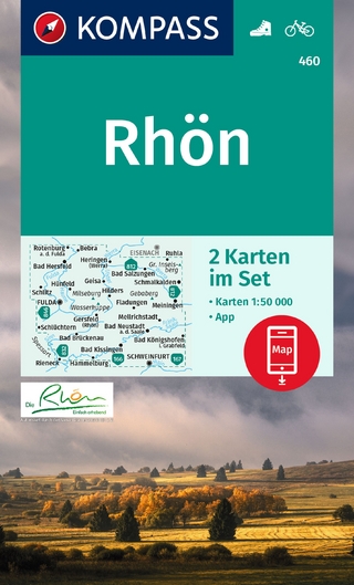
inklusive Karte zur offline Verwendung in der KOMPASS-App
Karte (gefalzt) (2023)
Kompass-Karten (Verlag)
CHF 22,90
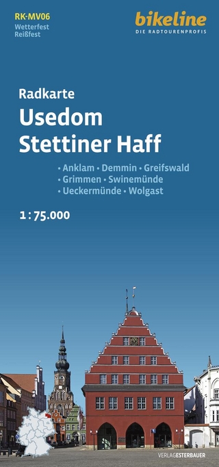
Anklam, Demmin, Greifswald, Grimmen, Swinemünde, Ückermünde, Usedom, …
Karte (gefalzt) (2024)
Esterbauer (Verlag)
CHF 14,90
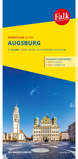
1 : 20 000 : jedes Detail im passenden Massstab
Karte (gefalzt) (2025)
MAIRDUMONT (Verlag)
CHF 18,90