


Ireland
Seiten
1997
|
2nd Revised edition
Automobile Association (Verlag)
978-0-7495-1310-8 (ISBN)
Automobile Association (Verlag)
978-0-7495-1310-8 (ISBN)
- Keine Verlagsinformationen verfügbar
- Artikel merken
An A5-format road atlas of Ireland, with mapping at a scale of five miles to one inch, 23 town plans, a distance chart, and an index of 3000 place-names. Ferry routes are highlighted.
This book contains 23 town plans covering Ir eland and Great Britain. It provides essential information s uch as mileage charts and ferry routes, and a comprehensive place name index. '
This book contains 23 town plans covering Ir eland and Great Britain. It provides essential information s uch as mileage charts and ferry routes, and a comprehensive place name index. '
| Erscheint lt. Verlag | 28.2.1997 |
|---|---|
| Reihe/Serie | AA Glovebox Atlas S. |
| Zusatzinfo | 23 town plans, chart, index |
| Verlagsort | Basingstoke |
| Sprache | englisch |
| Maße | 150 x 211 mm |
| Gewicht | 160 g |
| Themenwelt | Reisen ► Hotel- / Restaurantführer ► Europa |
| Reisen ► Karten / Stadtpläne / Atlanten ► Europa | |
| Reiseführer ► Europa ► Irland | |
| ISBN-10 | 0-7495-1310-1 / 0749513101 |
| ISBN-13 | 978-0-7495-1310-8 / 9780749513108 |
| Zustand | Neuware |
| Informationen gemäß Produktsicherheitsverordnung (GPSR) | |
| Haben Sie eine Frage zum Produkt? |
Mehr entdecken
aus dem Bereich


aus dem Bereich
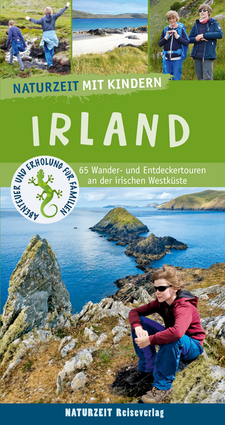
65 Wander- und Entdeckertouren an der irischen Westküste
Buch | Softcover (2024)
Naturzeit Reiseverlag
CHF 33,90