


Normandy
2017
|
6th Revised edition
Automobile Association (Verlag)
978-0-7495-7900-5 (ISBN)
Automobile Association (Verlag)
978-0-7495-7900-5 (ISBN)
- Titel wird leider nicht erscheinen
- Artikel merken
Produced in association with IGN - France's national mapping agency, this slimline, durable map has been fully updated, combining clear design and an easy-to-read scale with more road detail to ensure that you never lose your way. The map also includes information on toll points, service areas, road numbers, motorways, dual carriageways and local roads. National Parks, ski resorts, visitor attractions and towns of interest are also highlighted.
| Erscheint lt. Verlag | 30.9.2017 |
|---|---|
| Reihe/Serie | AA Road Map France Series ; 2 |
| Verlagsort | Basingstoke |
| Sprache | englisch |
| Maße | 118 x 252 mm |
| Gewicht | 113 g |
| Themenwelt | Reisen ► Karten / Stadtpläne / Atlanten ► Europa |
| Reisen ► Karten / Stadtpläne / Atlanten ► Welt / Arktis / Antarktis | |
| ISBN-10 | 0-7495-7900-5 / 0749579005 |
| ISBN-13 | 978-0-7495-7900-5 / 9780749579005 |
| Zustand | Neuware |
| Informationen gemäß Produktsicherheitsverordnung (GPSR) | |
| Haben Sie eine Frage zum Produkt? |
Mehr entdecken
aus dem Bereich


aus dem Bereich
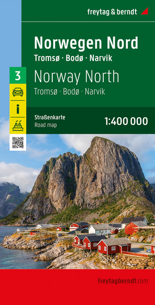
Narvik
Karte (gefalzt) (2023)
Freytag-Berndt und ARTARIA (Verlag)
CHF 21,90
Karte (gefalzt) (2024)
Freytag-Berndt und ARTARIA (Verlag)
CHF 18,95
Georgien, Armenien, Aserbaidschan
Karte (gefalzt) (2025)
Freytag-Berndt und ARTARIA (Verlag)
CHF 24,90