


Central Southern England
2017
|
6th Revised edition
Automobile Association (Verlag)
978-0-7495-7891-6 (ISBN)
Automobile Association (Verlag)
978-0-7495-7891-6 (ISBN)
- Titel ist leider vergriffen;
keine Neuauflage - Artikel merken
Britain's clearest mapping from the experts at the AA, in a handy foldable road map covering the Central Southern England. Fully updated, the map combines clear design and an easy-to-read scale of 3 miles to 1 inch.
Britain's clearest mapping from the experts at the AA, in a handy foldable road map covering the Central Southern England. Fully updated, the map combines clear design and an easy-to-read scale of 3 miles to 1 inch, with more road detail to ensure you never lose your way while navigating Britain's roads. The map includes information on toll points, service areas, road numbers, motorways, dual carriageways and wide and narrow local roads. National parks and places of interest are also highlighted.
Britain's clearest mapping from the experts at the AA, in a handy foldable road map covering the Central Southern England. Fully updated, the map combines clear design and an easy-to-read scale of 3 miles to 1 inch, with more road detail to ensure you never lose your way while navigating Britain's roads. The map includes information on toll points, service areas, road numbers, motorways, dual carriageways and wide and narrow local roads. National parks and places of interest are also highlighted.
| Erscheint lt. Verlag | 30.9.2017 |
|---|---|
| Reihe/Serie | AA Road Map Britain ; 2 |
| Verlagsort | Basingstoke |
| Sprache | englisch |
| Maße | 114 x 249 mm |
| Gewicht | 249 g |
| Themenwelt | Reisen ► Karten / Stadtpläne / Atlanten ► Europa |
| Reisen ► Karten / Stadtpläne / Atlanten ► Welt / Arktis / Antarktis | |
| ISBN-10 | 0-7495-7891-2 / 0749578912 |
| ISBN-13 | 978-0-7495-7891-6 / 9780749578916 |
| Zustand | Neuware |
| Informationen gemäß Produktsicherheitsverordnung (GPSR) | |
| Haben Sie eine Frage zum Produkt? |
Mehr entdecken
aus dem Bereich


aus dem Bereich
Karte (gefalzt) (2024)
Freytag-Berndt und ARTARIA (Verlag)
CHF 18,95
markierte Wanderwege, Hütten, Radrouten
Karte (gefalzt) (2023)
Kompass-Karten (Verlag)
CHF 26,90
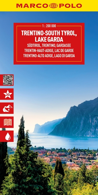
Südtirol, Trentino, Gardasee
Karte (gefalzt) (2025)
MAIRDUMONT (Verlag)
CHF 21,90