


Great Britain Reversible Road Map
Seiten
2016
|
34th Revised edition
Geographers' A-Z Map Co Ltd (Verlag)
9781843489078 (ISBN)
Geographers' A-Z Map Co Ltd (Verlag)
9781843489078 (ISBN)
- Titel ist leider vergriffen;
keine Neuauflage - Artikel merken
A full-colour, double-sided, fold-out road map of Great Britain, featuring motorways, motorway service areas, primary routes and primary route destinations, 'A' roads, selected other roads and hill shading
Larger scale inset road maps of the main conurbations of London, Birmingham, Manchester & Liverpool, Glasgow & Edinburgh, Newcastle & Middlesbrough, Leeds & Bradford, Sheffield, Southampton & Portsmouth and Bristol & Cardiff
Listings of limited interchange motorway junction details
A mileage chart
The index to cities, towns, villages, hamlets and locations is contained in a booklet attached to the cover.
Britain’s leading street map publisher providing cartographic services, digital data products and paper mapping publications (including Street Atlases, Visitors Guides, Great Britain Road Atlases and The Adventure Atlas).
| Erscheint lt. Verlag | 29.9.2016 |
|---|---|
| Reihe/Serie | A-Z Road Map |
| Sprache | englisch |
| Themenwelt | Reisen ► Karten / Stadtpläne / Atlanten ► Europa |
| ISBN-13 | 9781843489078 / 9781843489078 |
| Zustand | Neuware |
| Informationen gemäß Produktsicherheitsverordnung (GPSR) | |
| Haben Sie eine Frage zum Produkt? |
Mehr entdecken
aus dem Bereich


aus dem Bereich
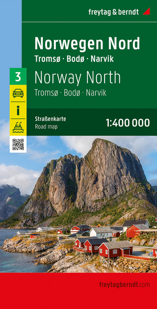
Narvik
Karte (gefalzt) (2023)
Freytag-Berndt und ARTARIA (Verlag)
CHF 21,90
Karte (gefalzt) (2024)
Freytag-Berndt und ARTARIA (Verlag)
CHF 18,95