


Insight Guides Travel Maps Germany
Seiten
2013
|
4th Revised edition
Insight Maps (Verlag)
978-1-78005-478-0 (ISBN)
Insight Maps (Verlag)
978-1-78005-478-0 (ISBN)
- Titel erscheint in neuer Auflage
- Artikel merken
Zu diesem Artikel existiert eine Nachauflage
Includes a map of the Ruhr at 1:300 000. In addition to the road and rail networks, ferry routes and airports, this map provides an overview of the topography through the use of relief shading.
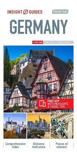
Travel Map Germany is an indexed, road map now available at the more detailed scale of 1:500 000. Also included is a map of the Ruhr at 1:300 000.
Places of interest, including museums, monuments and religious sites are listed and accompanied by a wide range of pictorial symbols for instant recognition, these symbols have been colour coded by category.
In addition to the road and rail networks, ferry routes and airports, this map provides an overview of the topography through the use of relief shading. National parks, nature reserves and restricted areas are clearly shown.
Handy distance indicators, located in the margin, give distances to the nearest town, major locations and motorway junction, if applicable. Intermediate driving distances are shown on main roads.
The extensive legend is shown in 4 languages.
| Erscheint lt. Verlag | 4.4.2013 |
|---|---|
| Reihe/Serie | Insight Guides Travel Maps |
| Sprache | englisch |
| Themenwelt | Reisen ► Karten / Stadtpläne / Atlanten ► Deutschland |
| ISBN-10 | 1-78005-478-5 / 1780054785 |
| ISBN-13 | 978-1-78005-478-0 / 9781780054780 |
| Zustand | Neuware |
| Informationen gemäß Produktsicherheitsverordnung (GPSR) | |
| Haben Sie eine Frage zum Produkt? |
Mehr entdecken
aus dem Bereich
aus dem Bereich
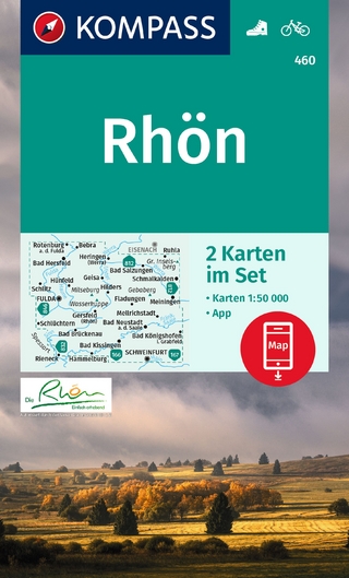
inklusive Karte zur offline Verwendung in der KOMPASS-App
Karte (gefalzt) (2023)
Kompass-Karten (Verlag)
CHF 22,90
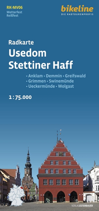
Anklam, Demmin, Greifswald, Grimmen, Swinemünde, Ückermünde, Usedom, …
Karte (gefalzt) (2024)
Esterbauer (Verlag)
CHF 14,90
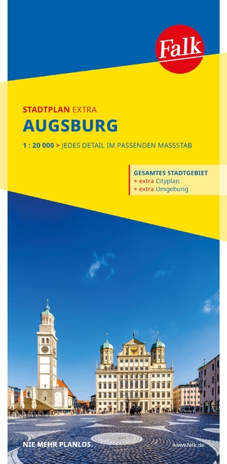
1 : 20 000 : jedes Detail im passenden Massstab
Karte (gefalzt) (2025)
MAIRDUMONT (Verlag)
CHF 18,90