


Germany Southeast, Bavaria - Michelin Regional Map 546
Map
Seiten
2013
|
2020
Michelin Editions des Voyages (Verlag)
978-2-06-718369-8 (ISBN)
Michelin Editions des Voyages (Verlag)
978-2-06-718369-8 (ISBN)
- Titel ist leider vergriffen;
keine Neuauflage - Artikel merken
With MICHELIN Regional Maps, find more than just your way! In addition to Michelin's clear and accurate mapping, the regional map series includes all the practical information for a trouble free journey, including major town plans as well as tourism information to make the most of your journey. Scales from 1:150,000 to 1:2,400,000
(Edition revised in 2020) MICHELIN Germany Southeast - Bavaria Regional Map scale 1/375,000 will provide you with an extensive coverage of primary, secondary and scenic routes for this region. I In addition to Michelin's clear and accurate mapping, this regional map includes all the practical information for a trouble free journey, including major town plans as well as tourism information. Picturesque routes are bordered by a green border. With MICHELIN Regional Maps, find more than just your way!
MICHELIN REGIONAL MAPS include practical information for a trouble free journey and show primary & secondary road networks.
* Administrative boundaries
* Scenic routes and tourist sights
* Place name index
* Time and distance charts
* Plans for a selection of major towns
* Practical information: danger alerts, service stations, picnic areas
| Erscheint lt. Verlag | 25.3.2013 |
|---|---|
| Verlagsort | Paris |
| Sprache | englisch |
| Maße | 113 x 250 mm |
| Gewicht | 118 g |
| Themenwelt | Reisen ► Karten / Stadtpläne / Atlanten ► Deutschland |
| ISBN-10 | 2-06-718369-9 / 2067183699 |
| ISBN-13 | 978-2-06-718369-8 / 9782067183698 |
| Zustand | Neuware |
| Informationen gemäß Produktsicherheitsverordnung (GPSR) | |
| Haben Sie eine Frage zum Produkt? |
Mehr entdecken
aus dem Bereich
aus dem Bereich
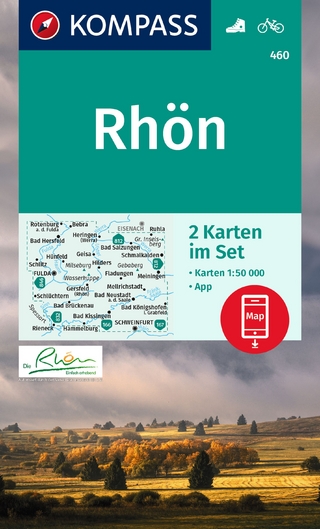
inklusive Karte zur offline Verwendung in der KOMPASS-App
Karte (gefalzt) (2023)
Kompass-Karten (Verlag)
CHF 22,90
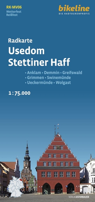
Anklam, Demmin, Greifswald, Grimmen, Swinemünde, Ückermünde, Usedom, …
Karte (gefalzt) (2024)
Esterbauer (Verlag)
CHF 14,90
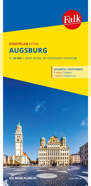
1 : 20 000 : jedes Detail im passenden Massstab
Karte (gefalzt) (2025)
MAIRDUMONT (Verlag)
CHF 18,90