


Hiking the Wasatch
The Official Wasatch Mountain Club Trail Map for Tri-County Area
1994
University of Utah Press,U.S. (Verlag)
978-0-87480-453-9 (ISBN)
University of Utah Press,U.S. (Verlag)
978-0-87480-453-9 (ISBN)
- Titel z.Zt. nicht lieferbar
- Portofrei ab CHF 40
- Auch auf Rechnung
- Artikel merken
The only hiking map officially sanctioned by teh Wasatch Mountain Club. Features a complete, up-to-date map of the tri-canyon trail system, including Mill Creek Canyon, Big Cottonwood Canyon, and Little Cottonwood Canyon. This map has been field checked for accuracy adn includes measured mileages and historic and unmaintained trails.
Printed on heavy, water resistant stock for years of hiking enjoyment.
Printed on heavy, water resistant stock for years of hiking enjoyment.
| Erscheint lt. Verlag | 30.5.1994 |
|---|---|
| Zusatzinfo | both sides, col., plastic |
| Verlagsort | Salt Lake City |
| Sprache | englisch |
| Maße | 152 x 203 mm |
| Gewicht | 51 g |
| Themenwelt | Sachbuch/Ratgeber ► Sport |
| Reisen | |
| ISBN-10 | 0-87480-453-1 / 0874804531 |
| ISBN-13 | 978-0-87480-453-9 / 9780874804539 |
| Zustand | Neuware |
| Informationen gemäß Produktsicherheitsverordnung (GPSR) | |
| Haben Sie eine Frage zum Produkt? |
Mehr entdecken
aus dem Bereich

aus dem Bereich
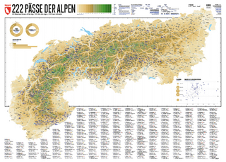
222 Mountain Passes of the Alps / 222 Cols des Alpes / 222 Passi …
Karte (gerollt) (2024)
Marmota Maps GmbH (Verlag)
CHF 84,90
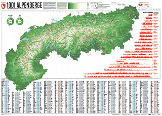
Und 20 besondere Wanderwege
Karte (gerollt) (2025)
Marmota Maps GmbH (Verlag)
CHF 84,90
Karte/Kartografie (2024)
Kompass-Karten (Verlag)
CHF 25,90