


Germany
AA Road Maps Europe
Seiten
2011
|
4th edition
Automobile Association (Verlag)
978-0-7495-6838-2 (ISBN)
Automobile Association (Verlag)
978-0-7495-6838-2 (ISBN)
- Titel ist leider vergriffen;
keine Neuauflage - Artikel merken
Zu diesem Artikel existiert eine Nachauflage
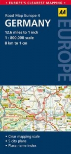
Fully updated, this map combines clear design and an easy-to-read scale with more road detail to ensure that you never lose your way. It includes information on toll points, service areas, road numbers, motorways, dual carriageways and wide and narrow local roads. National Parks, ski resorts, visitor attractions and towns and places of interest are also highlighted. The map is presented in a practical slimline format, with a durable weatherproof cover for protection from the elements.
AA Publishing is the UK's largest travel publisher, with an extensive range of inspiring travel guides, dependable driving books, and trusted maps and atlases.
| Erscheint lt. Verlag | 31.3.2011 |
|---|---|
| Verlagsort | Basingstoke |
| Sprache | englisch |
| Maße | 118 x 252 mm |
| Themenwelt | Reisen ► Karten / Stadtpläne / Atlanten ► Deutschland |
| Reisen ► Karten / Stadtpläne / Atlanten ► Europa | |
| ISBN-10 | 0-7495-6838-0 / 0749568380 |
| ISBN-13 | 978-0-7495-6838-2 / 9780749568382 |
| Zustand | Neuware |
| Informationen gemäß Produktsicherheitsverordnung (GPSR) | |
| Haben Sie eine Frage zum Produkt? |
Mehr entdecken
aus dem Bereich
aus dem Bereich
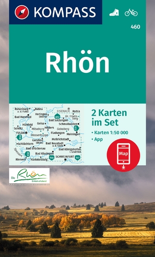
inklusive Karte zur offline Verwendung in der KOMPASS-App
Karte (gefalzt) (2023)
Kompass-Karten (Verlag)
CHF 22,90
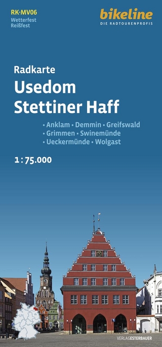
Anklam, Demmin, Greifswald, Grimmen, Swinemünde, Ückermünde, Usedom, …
Karte (gefalzt) (2024)
Esterbauer (Verlag)
CHF 14,90
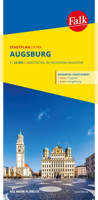
1 : 20 000 : jedes Detail im passenden Massstab
Karte (gefalzt) (2025)
MAIRDUMONT (Verlag)
CHF 18,90