


Skye Pocket Map
The Perfect Way to Explore Skye
Seiten
2022
|
2nd Revised edition
Collins (Verlag)
978-0-00-849259-5 (ISBN)
Collins (Verlag)
978-0-00-849259-5 (ISBN)
Handy little full colour Collins map of Skye with a high level of detail. Clear mapping of the Isle of Skye showing the road network, ferries and places of interest. Map at a scale of 1:175 000 (3 miles to 1 inch).
Clear, detailed, full colour Collins road mapping is presented in a handy format ideal for the pocket or handbag. It is excellent value and covers the whole of the Isle of Skye.
This map includes:
• Scotland route map
• Caravan and camping sites
• Tourist locations
• Ferry links
• Listing of major places to visit, with additional details for Dunvegan Castle, Old Man of Storr and Loch Coruisk
• Detailed place names index
Explore the world through accurate and up-to-date mapping.
| Erscheint lt. Verlag | 3.2.2022 |
|---|---|
| Zusatzinfo | Index |
| Verlagsort | London |
| Sprache | englisch |
| Maße | 90 x 140 mm |
| Gewicht | 40 g |
| Themenwelt | Reisen ► Hotel- / Restaurantführer |
| Reisen ► Karten / Stadtpläne / Atlanten ► Europa | |
| Reisen ► Karten / Stadtpläne / Atlanten ► Welt / Arktis / Antarktis | |
| Reiseführer ► Europa ► Großbritannien | |
| Naturwissenschaften ► Geowissenschaften ► Geografie / Kartografie | |
| ISBN-10 | 0-00-849259-X / 000849259X |
| ISBN-13 | 978-0-00-849259-5 / 9780008492595 |
| Zustand | Neuware |
| Informationen gemäß Produktsicherheitsverordnung (GPSR) | |
| Haben Sie eine Frage zum Produkt? |
Mehr entdecken
aus dem Bereich

aus dem Bereich
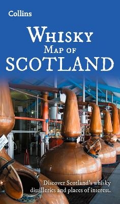
Discover Where Scotland’s National Drink is Produced
Karte (gefalzt) (2025)
Collins (Verlag)
CHF 21,90
Karte (gefalzt) (2025)
Lonely Planet Global Limited (Verlag)
CHF 16,90