![Bild vergrößern United States Coloring Map [tubed] - National Geographic Maps](/media/111866799)
United States Coloring Map [tubed]
Seiten
2020
|
2020th ed.
National Geographic Maps (Verlag)
978-1-56695-854-7 (ISBN)
National Geographic Maps (Verlag)
978-1-56695-854-7 (ISBN)
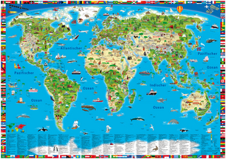
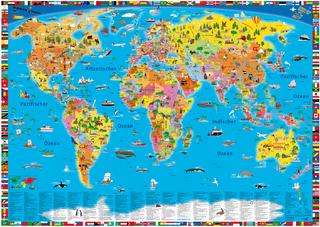
Looking for a fun activity to reduce stress and learn geography? Well you're in luck, because the cartographers at National Geographic have adapted our United States for Kids Map to a black and white outline version that you can color at home. Color the places you've been, or the ones you dream of visiting, or color the countries randomly with pastel or bold colors. Spend a few hours or a few days to color the map. By the time you're done, you'll know a lot more about the United States than when you started. The United States Coloring map includes state flags that can all be colored along with a bonus full color letter size sheet that has all of the flags of the United States, including the 'Stars and Stripes' you can use as a reference. The map is packaged in a two inch diamater clear plastic tube. The tube has a decorative label showing a thumbnail of the map with dimensions and other pertinent information.
| Erscheint lt. Verlag | 1.5.2020 |
|---|---|
| Zusatzinfo | 1 Illustrations, unspecified |
| Verlagsort | Evergreen |
| Sprache | englisch |
| Maße | 915 x 610 mm |
| Themenwelt | Reisen ► Karten / Stadtpläne / Atlanten ► Welt / Arktis / Antarktis |
| Naturwissenschaften ► Geowissenschaften ► Geografie / Kartografie | |
| ISBN-10 | 1-56695-854-7 / 1566958547 |
| ISBN-13 | 978-1-56695-854-7 / 9781566958547 |
| Zustand | Neuware |
| Informationen gemäß Produktsicherheitsverordnung (GPSR) | |
| Haben Sie eine Frage zum Produkt? |
Mehr entdecken
aus dem Bereich
aus dem Bereich


