


Philip's Regional Wall Maps
1999
|
Revised edition
Philip's (Verlag)
978-0-540-07777-9 (ISBN)
Philip's (Verlag)
978-0-540-07777-9 (ISBN)
- Titel ist leider vergriffen;
keine Neuauflage - Artikel merken
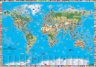
A folded edition which gives a large-scale topographical map of the West Indies. The use of lettering and symbols enables cities, towns, as well as river and other physical features to be easily identified.
| Erscheint lt. Verlag | 15.11.1999 |
|---|---|
| Zusatzinfo | col |
| Verlagsort | London |
| Sprache | englisch |
| Maße | 205 x 265 mm |
| Gewicht | 225 g |
| Themenwelt | Schulbuch / Wörterbuch |
| Naturwissenschaften ► Geowissenschaften ► Geografie / Kartografie | |
| ISBN-10 | 0-540-07777-1 / 0540077771 |
| ISBN-13 | 978-0-540-07777-9 / 9780540077779 |
| Zustand | Neuware |
| Informationen gemäß Produktsicherheitsverordnung (GPSR) | |
| Haben Sie eine Frage zum Produkt? |
Mehr entdecken
aus dem Bereich


aus dem Bereich
Karte (plano) (2025)
Freytag-Berndt und ARTARIA (Verlag)
CHF 26,90
Karte (gerollt) (2025)
Freytag-Berndt und ARTARIA (Verlag)
CHF 38,90
Karte (gerollt) (2025)
Freytag-Berndt und ARTARIA (Verlag)
CHF 31,90