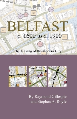
Belfast c.1600 to c. 1900: the making of the modern city
2006
Royal Irish Academy (Verlag)
978-1-904890-20-1 (ISBN)
Royal Irish Academy (Verlag)
978-1-904890-20-1 (ISBN)
Includes a map with an introductory essay folded to pocket size. This book features over 200 historical sites with colour and symbols for reader accessibility. It is part of the Irish Historic Towns Atlas series.
This publication includes a large map with an introductory essay folded to a handy pocket size. Over 200 historical sites have been mapped and indexed. Colour and symbols are imposed on a modern base so the reader can walk the streets of Belfast with a view to the past, map in hand. It is an ancillary publication to Irish Historic Towns Atlas, no. 17, Belfast, part II, 1840 to 1900 by Stephen A. Royle.
Authors: Raymond Gillespie, Stephen A. Royle; Cartogrpahy: Sarah Gearty
Series editors: Anngret Simms, H.B. Clarke, Raymond Gillespie, Jacinta Prunty; Consultant editor: J.H. Andrews; Cartographic editor: Sarah Gearty; Editorial assistant: Angela Murphy
| Erscheint lt. Verlag | 6.12.2006 |
|---|---|
| Reihe/Serie | Irish Historic Towns Atlas |
| Zusatzinfo | Illustrations |
| Verlagsort | Dublin |
| Sprache | englisch |
| Maße | 127 x 200 mm |
| Gewicht | 198 g |
| Themenwelt | Geschichte ► Allgemeine Geschichte ► Neuzeit (bis 1918) |
| Geisteswissenschaften ► Geschichte ► Regional- / Ländergeschichte | |
| ISBN-10 | 1-904890-20-2 / 1904890202 |
| ISBN-13 | 978-1-904890-20-1 / 9781904890201 |
| Zustand | Neuware |
| Informationen gemäß Produktsicherheitsverordnung (GPSR) | |
| Haben Sie eine Frage zum Produkt? |