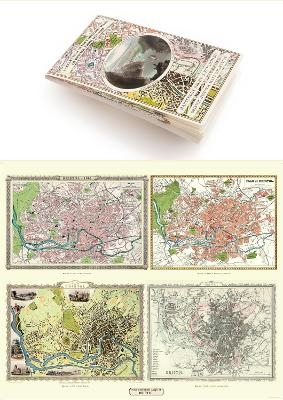
Zum Hauptinhalt springen
Nicht aus der Schweiz? Besuchen Sie lehmanns.de

Ergebnisse zu
Sachbuch / Ratgeber

Fachgebiete anzeigen
Easy-to-use folding map and essential information, with custom itinerary planning for walkers, trekkers, fastpackers and trail runners
Karte (gefalzt)
2020 | Vertebrate Publishing Ltd
ISBN: 9781839810305
CHF 31,90 (inkl. MwSt)
  • Versand in 10-20 Tagen
Karte (gefalzt)
2020 | Alpina, Editorial, S.L.
ISBN: 9788480908535
CHF 27,90 (inkl. MwSt)
  • Versand in 10-14 Tagen
D-Day Sheet 40/16
von Tony Painter
Karte (gefalzt)
2004 | Alan Godfrey Maps
ISBN: 9781841516257
CHF 13,15 (inkl. MwSt)
  • Versand in 10-14 Tagen
20" x 16" Photographic Print
von John Speed; Historical Images Ltd
Karte (gerollt)
2010 | Historical Images Ltd
ISBN: 9781844910151
CHF 29,65 (inkl. MwSt)
  • Versand in 15-20 Tagen
Trails Illustrated Other Rec. Areas
von National Geographic Maps
Karte (gefalzt)
2012 | National Geographic Maps
ISBN: 9781566950343
CHF 27,45 (inkl. MwSt)
  • Versand in 10-14 Tagen
von Harvey Map Services Ltd.
Karte (gefalzt)
2011 | Harvey Map Services Ltd
ISBN: 9781851375103
CHF 37,90 (inkl. MwSt)
  • Versand in 10-20 Tagen
Northwest Aegean Sea
von Imray
Karte (gefalzt)
2012 | Imray, Laurie, Norie & Wilson Ltd
ISBN: 9781846233944
CHF 57,75 (inkl. MwSt)
  • Versand in 10-20 Tagen
von Ordnance Survey of Northern Ireland
Karte (gefalzt)
2006 | Ordnance Survey of Northern..
ISBN: 9781905306121
CHF 16,90 (inkl. MwSt)
  • Versand in 10-14 Tagen
von Ordnance Survey of Northern Ireland
Karte (gefalzt)
2008 | Ordnance Survey of Northern..
ISBN: 9781905306275
CHF 22,90 (inkl. MwSt)
  • Versand in 10-20 Tagen
Walking and Cycling
von Harvey Map Services Ltd.
Karte (gefalzt)
2008 | Harvey Map Services Ltd
ISBN: 9781851374083
CHF 15,60 (inkl. MwSt)
  • Versand in 10-20 Tagen
Wall Maps History & Nature
von National Geographic Maps
Karte (gerollt)
2012 | National Geographic Maps
ISBN: 9780792249764
CHF 28,90 (inkl. MwSt)
  • Versand in 10-20 Tagen
Latitude 50°N – for Use in the Uk and Ireland, Northern Europe, Northern USA and Canada
von Royal Observatory Greenwich; Dunlop; Wil Tirion
Karte/Kartografie
2013 | Collins
ISBN: 9780007540754
CHF 23,85 (inkl. MwSt)
  • Versand in 10-20 Tagen