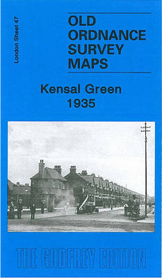
Kensal Green 1935 London Sheet 47 von Alan Godfrey Karte (gefalzt) 2008 | Alan Godfrey Maps ISBN: 9781847841018 Keine Verlagsinformationen verfügbar
Boroughbridge 1907 Yorkshire Sheet 138.02 von John Gough Karte (gefalzt) 2008 | Alan Godfrey Maps ISBN: 9781847841445 Keine Verlagsinformationen verfügbar
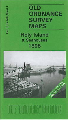
Holy Island and Seahouses 1898 Inch to the Mile Sheet 4 von David Butler Karte (gefalzt) 2008 | Alan Godfrey Maps ISBN: 9781847841216 Keine Verlagsinformationen verfügbar
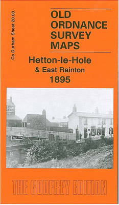
Hetton-le-Hole and East Rainton 1895 Durham Sheet 20.08 von David Butler Karte (gefalzt) 2007 | Alan Godfrey Maps ISBN: 9781847840097 Keine Verlagsinformationen verfügbar
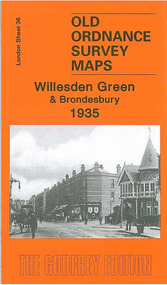
Willesden Green and Brondesbury 1935 London Sheet 36.4 von Alan Godfrey Karte (gefalzt) 2008 | Alan Godfrey Maps ISBN: 9781847840974 Keine Verlagsinformationen verfügbar
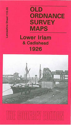
Lower Irlam and Cadishead 1926 Lancashire Sheet 110.05 von Chris Makepeace Karte (gefalzt) 2006 | Alan Godfrey Maps ISBN: 9781841519593 Keine Verlagsinformationen verfügbar
Goathland 1910 Yorkshire Sheet 45.16 von Alan Godfrey Karte (gefalzt) 2006 | Alan Godfrey Maps ISBN: 9781841519319 Keine Verlagsinformationen verfügbar
NE Essex and Dedham Vale 1904 One Inch Sheet 224 von Robert Malster Karte (gefalzt) 2005 | Alan Godfrey Maps ISBN: 9781841517612 Keine Verlagsinformationen verfügbar
South Kesteven 1906 One Inch Sheet 143 von Barrie Trinder Karte (gefalzt) 2006 | Alan Godfrey Maps ISBN: 9781841519180 Keine Verlagsinformationen verfügbar
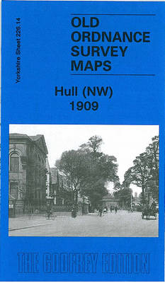
Hull (NW) 1909 Yorkshire Sheet 226.14 von Susan Neave Karte (gefalzt) 2008 | Alan Godfrey Maps ISBN: 9781847841568 Keine Verlagsinformationen verfügbar
Aberdare 1914 Glamorgan 11.15 von Derrick Pratt Karte (gefalzt) 2010 | Alan Godfrey Maps ISBN: 9781847843869 Keine Verlagsinformationen verfügbar
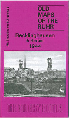
Recklinghausen & Herten 1944 Old Maps of the Ruhr 8 von Alan Godfrey Karte (gefalzt) 2010 | Alan Godfrey Maps ISBN: 9781847843838 Keine Verlagsinformationen verfügbar
Settle & District 1911 One Inch Sheet 60 von Derrick Pratt Karte (gefalzt) 2011 | Alan Godfrey Maps ISBN: 9781847844705 Keine Verlagsinformationen verfügbar
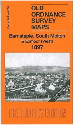
Barnstaple, South Molton & Exmoor (West) 1897 One Inch Sheet 293 von Richard Oliver Karte (gefalzt) 2011 | Alan Godfrey Maps ISBN: 9781847844651 Keine Verlagsinformationen verfügbar
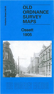
Ossett 1905 Yorkshire Sheet 248.05b von Alan Godfrey Karte (gefalzt) 2010 | Alan Godfrey Maps ISBN: 9781847844279 CHF 9,40 (inkl. MwSt) Keine Verlagsinformationen verfügbar
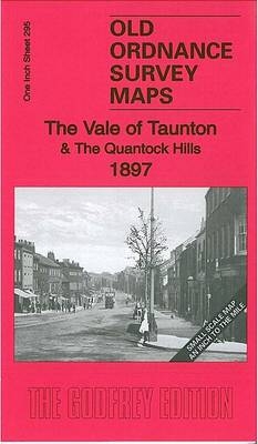
The Vale of Taunton & The Quantock Hills 1897 One Inch Sheet 295 von Tony Painter Karte (gefalzt) 2011 | Alan Godfrey Maps ISBN: 9781847844767 Keine Verlagsinformationen verfügbar
A Landscape History of Sheffield & Huddersfield (1840-1925) - LH3-110 Three Historical Ordnance Survey Maps Karte (gefalzt) 2011 | Cassini Publishing Ltd ISBN: 9781847368492 CHF 82,65 (inkl. MwSt) Titel nicht im Sortiment
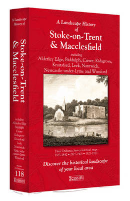
A Landscape History of Stoke-on-Trent (1833-1923) - LH3-118 Three Historical Ordnance Survey Maps Karte (gefalzt) 2011 | Cassini Publishing Ltd ISBN: 9781847368577 CHF 82,65 (inkl. MwSt) Titel nicht im Sortiment
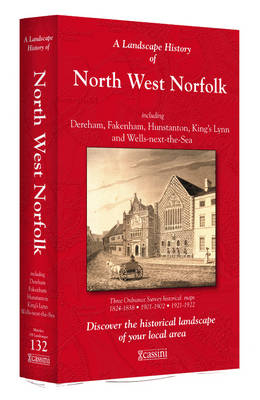
A Landscape History of North West Norfolk (1824-1922) - LH3-132 Three Historical Ordnance Survey Maps Karte (gefalzt) 2011 | Cassini Publishing Ltd ISBN: 9781847368713 CHF 82,65 (inkl. MwSt) Titel nicht im Sortiment
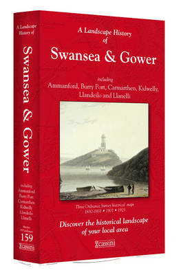
A Landscape History of Swansea & Gower (1830-1923) - LH3-159 Three Historical Ordnance Survey Maps Karte (gefalzt) 2011 | Cassini Publishing Ltd ISBN: 9781847368980 CHF 82,65 (inkl. MwSt) Titel nicht im Sortiment