


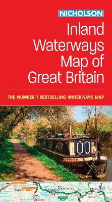
Collins Nicholson Inland Waterways Map of Great Britain
2016
|
New edition
Nicholson (Verlag)
978-0-00-814653-5 (ISBN)
Nicholson (Verlag)
978-0-00-814653-5 (ISBN)
- Titel erscheint in neuer Auflage
- Artikel merken
Zu diesem Artikel existiert eine Nachauflage

50 years as the number 1 waterways guide.
The map companion to the Collins/Nicholson Waterways Guides, covering the entire network of canal and river navigations in England, Scotland and Wales, including newly restored/opened canals and rivers.
The map identifies:
• narrow and broad canals;
• navigable rivers;
• tidal river navigations;
• waterways under construction.
Also:
• contact telephone numbers and dimensions for each waterway;
• internet links.
Clear insets of the Birmingham Canal Navigations, Scottish inland waterways, the Norfolk Broads and the London area.
Explore the world through accurate and up-to-date mapping.
| Erscheint lt. Verlag | 10.3.2016 |
|---|---|
| Verlagsort | Edinburgh |
| Sprache | englisch |
| Maße | 133 x 240 mm |
| Gewicht | 160 g |
| Themenwelt | Natur / Technik ► Fahrzeuge / Flugzeuge / Schiffe ► Schiffe |
| Reisen ► Karten / Stadtpläne / Atlanten ► Europa | |
| Reiseführer ► Europa ► Großbritannien | |
| ISBN-10 | 0-00-814653-5 / 0008146535 |
| ISBN-13 | 978-0-00-814653-5 / 9780008146535 |
| Zustand | Neuware |
| Haben Sie eine Frage zum Produkt? |
Mehr entdecken
aus dem Bereich
aus dem Bereich
For Everyone with an Interest in Britain’s Canals and Rivers
Karte (gefalzt) (2024)
Nicholson (Verlag)
CHF 17,90