


Ireland Pocket Map
The Perfect Way to Explore Ireland
Seiten
2026
|
New Sixth edition
Collins (Verlag)
978-0-00-878744-8 (ISBN)
Collins (Verlag)
978-0-00-878744-8 (ISBN)
- Noch nicht erschienen (ca. März 2026)
- Portofrei ab CHF 40
- Auch auf Rechnung
- Artikel merken
Explore Ireland with this handy, full colour map.
Handy little full colour map of Ireland at an excellent price. It is double-sided, with the south of Ireland up to and including Dublin on one side, and from Dublin northwards on the other. Ideal for the pocket, bag or glovebox of the car.
This map includes:
• All the latest road changes
• Places of interest
• Ferry routes
• Speed enforcement zones and safety camera locations
Scale:
1:470,000
7.5 miles to 1 inch
Explore the world through accurate and up-to-date mapping.
| Erscheint lt. Verlag | 12.3.2026 |
|---|---|
| Verlagsort | London |
| Sprache | englisch |
| Maße | 90 x 140 mm |
| Gewicht | 270 g |
| Themenwelt | Reisen ► Karten / Stadtpläne / Atlanten ► Europa |
| ISBN-10 | 0-00-878744-1 / 0008787441 |
| ISBN-13 | 978-0-00-878744-8 / 9780008787448 |
| Zustand | Neuware |
| Informationen gemäß Produktsicherheitsverordnung (GPSR) | |
| Haben Sie eine Frage zum Produkt? |
Mehr entdecken
aus dem Bereich


aus dem Bereich
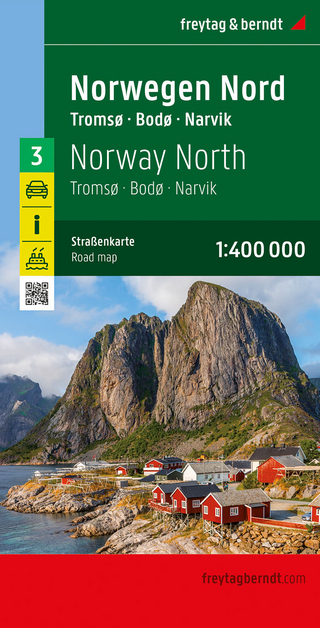
Narvik
Karte (gefalzt) (2023)
Freytag-Berndt und ARTARIA (Verlag)
CHF 21,90
Karte (gefalzt) (2024)
Freytag-Berndt und ARTARIA (Verlag)
CHF 18,95
Karte (gefalzt) (2025)
Kompass-Karten (Verlag)
CHF 31,90